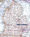
Michigan Maps
Click on the map above for a full-sized road map of the state or select L.P. or U.P. below.
Michigan
Click on Lower Peninsula and Upper Peninsula maps for larger versions.
Click here for a Michigan map showing Federal Lands.
Michigan's counties
Michigan's counties (83) - Click on the map for
a larger version and county maps.
From http://www.micountyroads.org/page.cfm/6/
(Isle Royale in Lake Superior is not shown. It is a part of Keweenaw County.)
Washtenaw County
Washtenaw County - Click on above maps for larger versions.
Ann Arbor/Washtenaw County area
Click here for a large map (too large to print) - or click on any quadrant of the map above.
MapWashtenaw
parcel maps, aerial imagery, natural features information
Washtenaw County Road Commission maps
• folded map (free)
and
• Washtenaw County township maps
Other Michigan counties
Michigan cities, towns, and villages
(a list by county -- no maps)
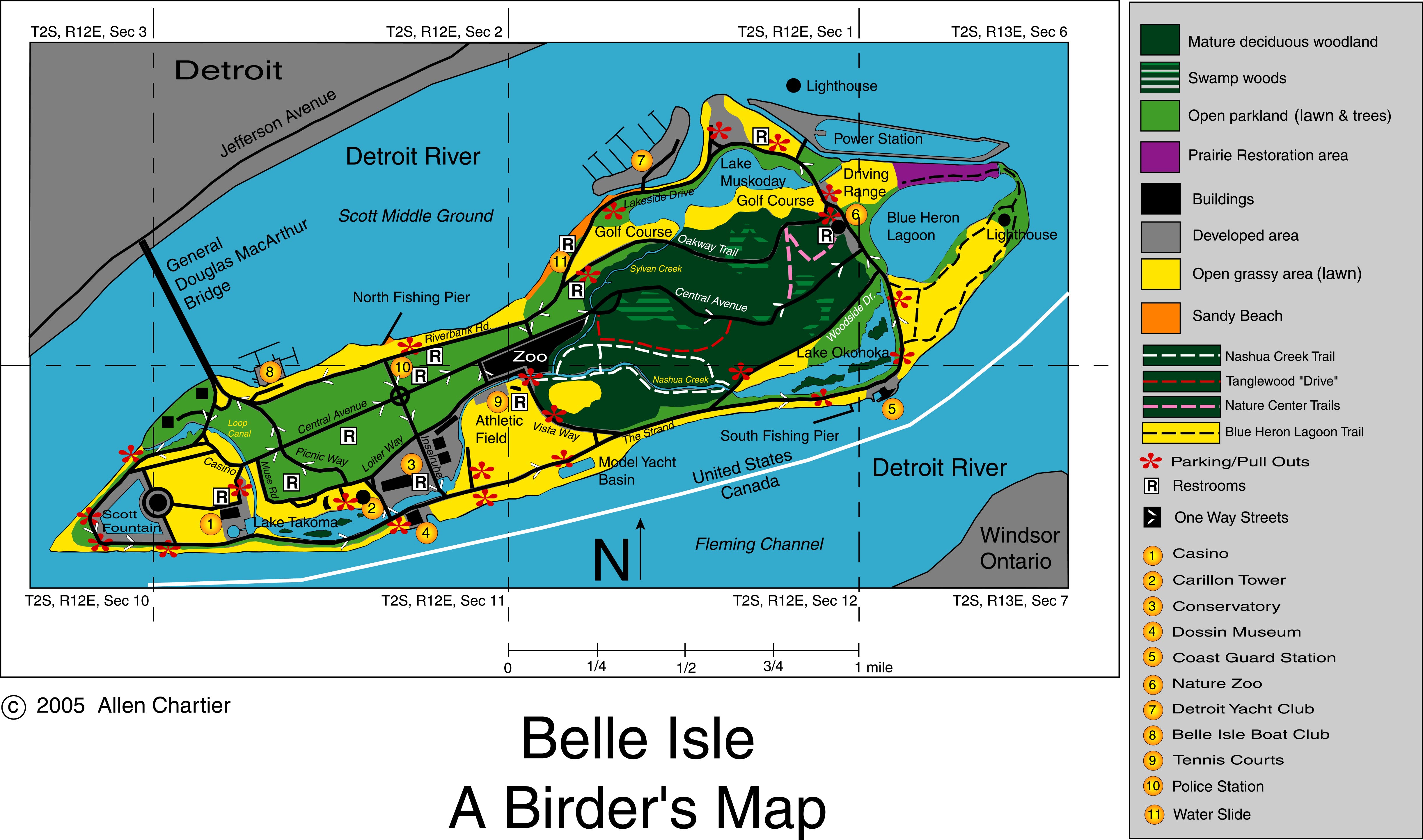
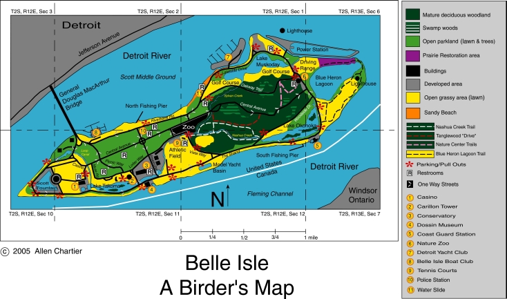
Maps of Birding Sites in Michigan
Belle Isle (Wayne County) [© Allen Chartier]
4890x2887 (full size, 1.0 MB)
2445x1444 (50%, 1.1 MB)
1956x1155 (40%, 794 kb)
1644x953 (33%, 603 kb)
1280x755 (25%, 427 kb)
1024x604 (20%, 301 kb)
734x433 (15%, 181 kb)
Belle Isle Park maps
Nichols Arboretum (Ann Arbor) maps
Pte. Mouillee State Game Area maps
Tawas Point State Park maps
Go to Birding Sites in Southeast Michigan and Vicinity for more maps