GOALS OF THE STUDY
-
This study is designed to look at the applicability of remotely
sensed data for identifying and quantifying impervious surfaces. It will
look at the accuracy and cost-effectiveness of three different types of
images by comparing and contrasting two different forms of digital data
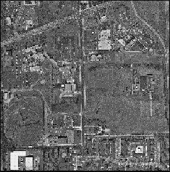
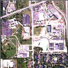
with a traditional panchromatic aerial photo. The area of study is a 3
acre (850 ha) block of land including the intersection of Plymouth and
Green Roads in Ann Arbor, MI. All analysis and image manipulation is done
with Erdas Imagine software.
-
-
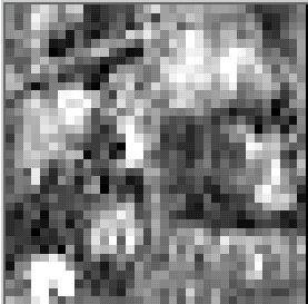
The data sets are as follows:
-
Digital-Ortho Photo
 AMDC Image
 Landsat MSS Scene
NEXT