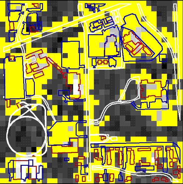
This image shows the Tasseled Cap data with the level slice analysis applied and the digitized impervious features superimposed on the scene. The general shape or pattern of the impervious surface pixels follows closely to that of the features identified in red, blue, and white. The lighter colored pixels within the yellow groupings are radiance values above the 194 cutoff and appear to be associated with large buildings. Of the1225 pixels in this scene, 698 were classified as impervious resulting in a land cover value of 57%. This impervious portion of the scene represents 4,810,244 m² or approximately 481 ha.
