| Assignment 1: Multiple Regression GEOGRAPHIC DISPLAY OF DEPENDENT VARIABLE: Median Value of Specified Owner-Occupied Housing Units: 2000 (by census
tract) | UP504
(Prof. Scott Campbell)
Winter 2008 University of Michigan last updated: Wednesday, January 16, 2008 10:02 AM |
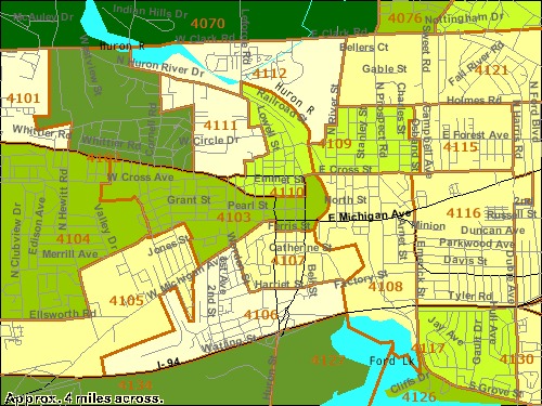
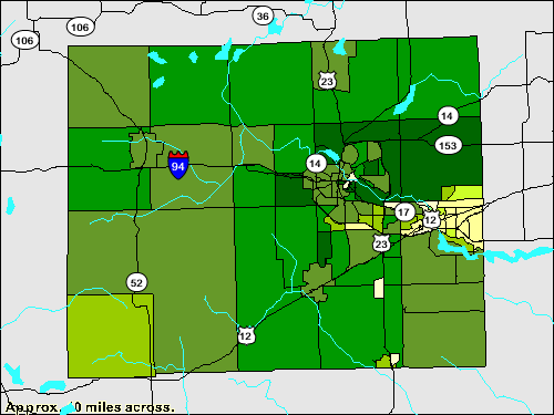
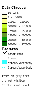
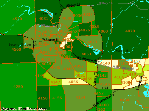
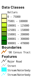
Below are some thematic maps, displaying the variable "Median Value of Specified Owner-Occupied Housing Units: 2000" by census tract. These are from the American Factfinder Thematic Map function. MAP 1 shows the entire county. MAP 2 focuses on Ann Arbor, MAP 3 looks just at central Ann Arbor, and MAP 4 focuses on Ypsilanti. (To ease comparisons across maps, each map uses the same seven data classes. Note: American Factfinder Thematic Mapping automatically generates its own 5-class data classes using natural breaks, but one can set these manually, and increase the number of data classes up to seven.) Also: you can add Census Tract numbers to you map by using the pull down menu "Options" and selecting "Boundaries" (as is done in MAPS 2-4 below).
MAP 1: Median Value of Specified Owner-Occupied Housing Units: 2000 (by census tract), Washtenaw County
  |
MAP 2: Median Value of Specified Owner-Occupied Housing Units: 2000 (by census tract), Ann Arbor City and surrounding areas
MAP 3: Median Value of Specified Owner-Occupied Housing Units: 2000 (by census tract), downtown Ann Arbor
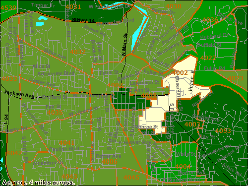

MAP 4: Median Value of Specified Owner-Occupied Housing Units: 2000 (by census tract), Ypsilanti City and surrounding areas
