Challenge
In order to make this problem more realistic and related to actual measurements and data, we have gathered information from the South Coast Air Quality Management District (AQMD) pertaining to the Los Angeles area. It is worth noting that the state of California shares both geographical and aerial divisions, incorporating 58 counties and 15 different air basins.
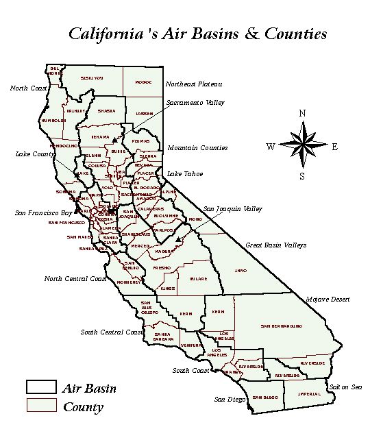
The South Coast Air Basin (SoCAB) includes the non-desert regions of four counties: Los Angeles, Orange, Riverside, and San Bernardino. The total area in the SoCAB amounts to 13,350 , with one half pertaining to L.A. and the other half to the remaining three counties. Riverside includes 60% of this half, while Orange and San Bernardino account for 20% each. Los Angeles, Orange, and Riverside line up along the Pacific Coast, three individual systems (CSTRs) in a sequential series once the Santa Ana wind blows from the northwest to the southeastern part of the Coast.
The total population in the South Coast Air Basin adds up to 15 million residents, who own 12 million vehicles. Out of this grand total, 90% commute to work, averaging 10.8 million cars on a daily basis. Assuming that L.A. holds 55% of those vehicles, Orange 25%, and Riverside 20%, and that the carbon monoxide emitted per vehicle in these areas was found to be 2.5 ppm, 1.8 ppm, and 2.2. ppm (respectively), how will this CSTR system behave over a period of 72 h in regard to CO accumulation? Use Polymath to come up with a solution.
(Tip: Consider that the volumetric flow of the Santa Ana wind remains the same, except for the constant addition of vehicular emissions in the three different sub-systems. The final concentration of CO in each county will be the next county’s initial concentration in the Santa Ana wind).
Alejandra De Obeso, Lauren Floyd, Dr. Nihat M. Gürmen, Prof. H. Scott Fogler