 ,
OpenStreetMap
(updated in 2025)
,
Johnson Preserve
[brochure (PDF)]
,
OpenStreetMap
(updated in 2025)
,
Johnson Preserve
[brochure (PDF)]
,
OpenStreetMap
(updated in 2025)
,
Johnson Preserve
[brochure (PDF)]
,
OpenStreetMap
(updated in 2025)
,
Johnson Preserve
[brochure (PDF)]
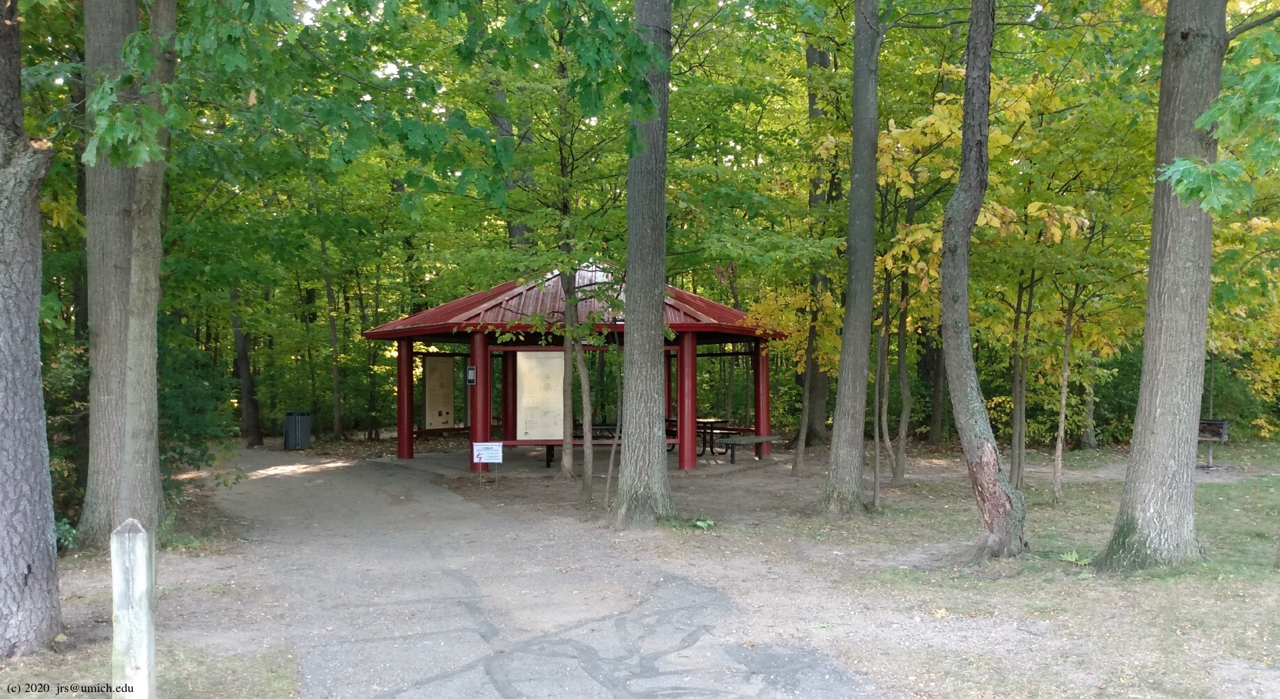
Photos from Lillie Park:
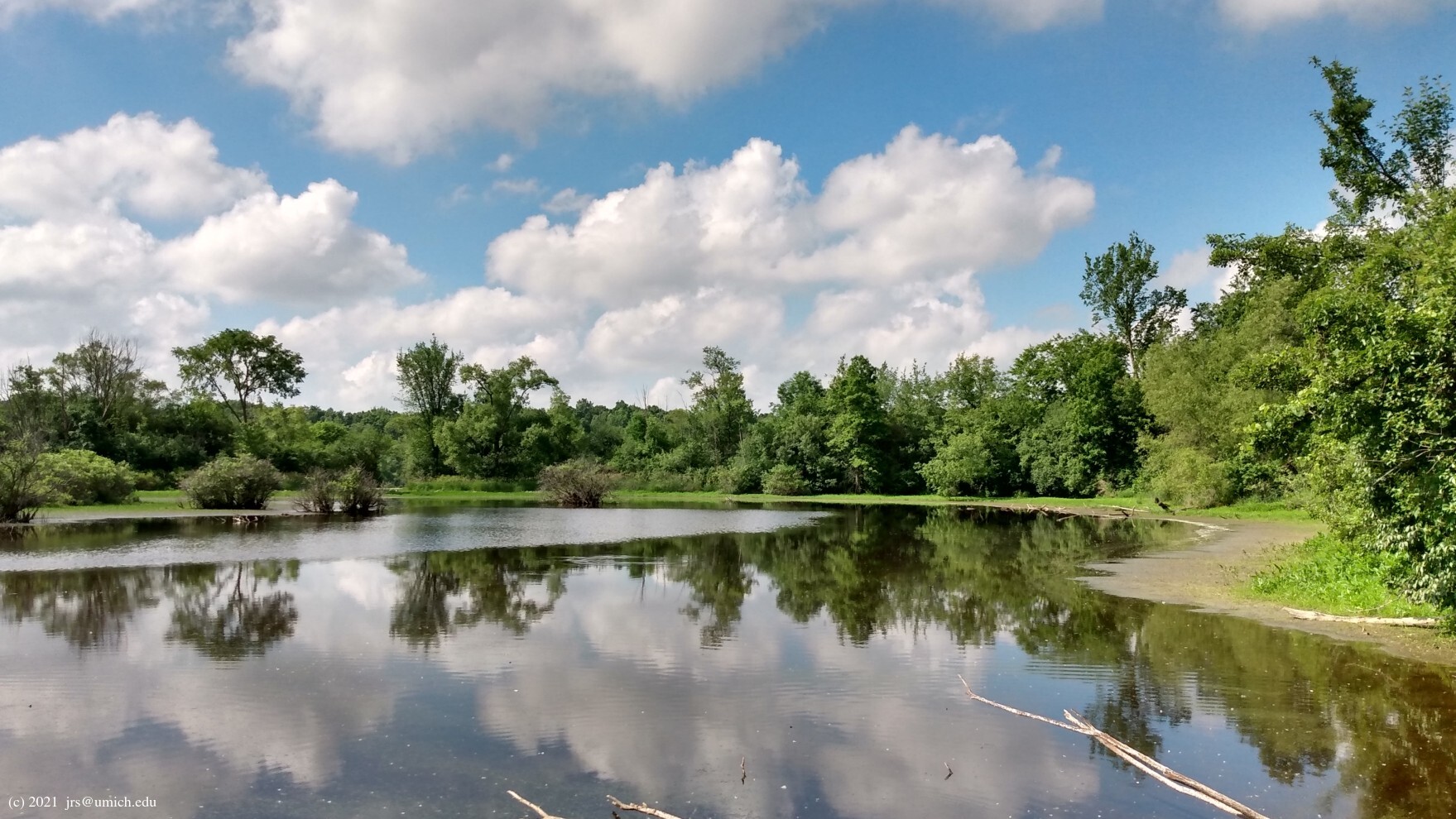
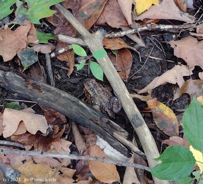
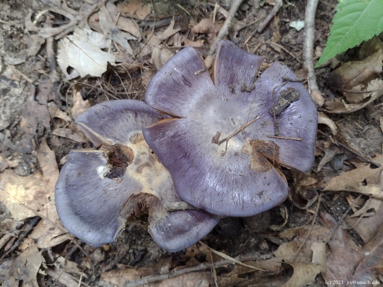
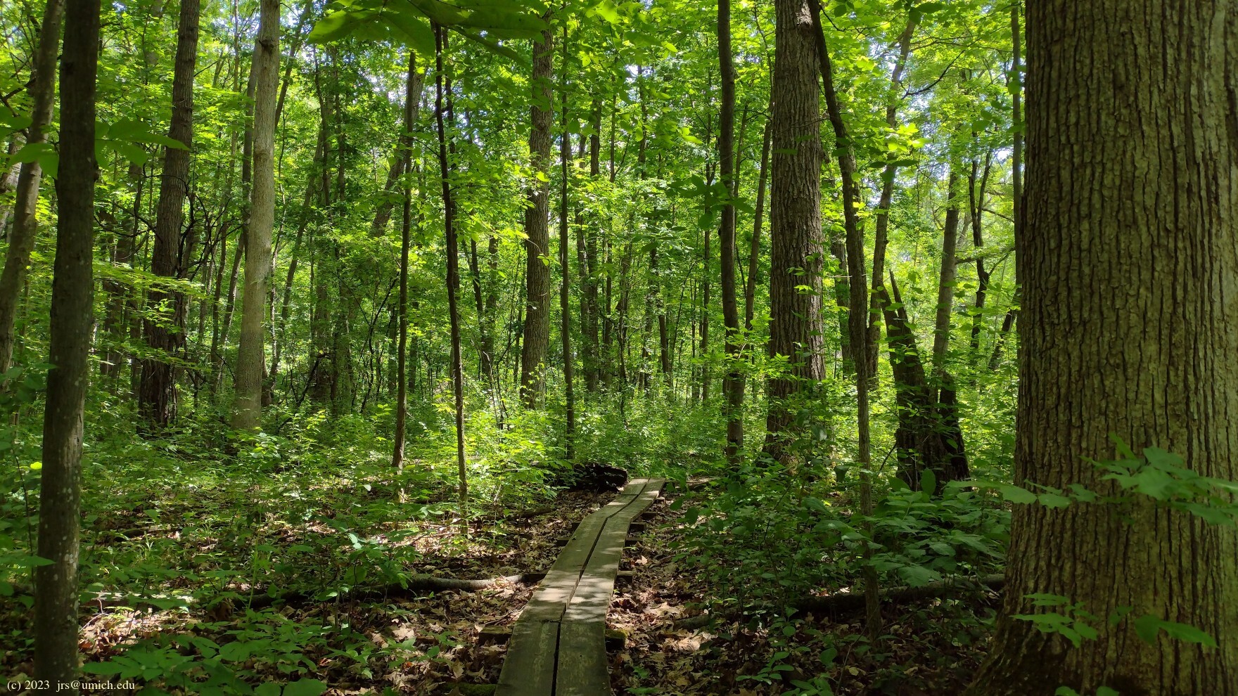
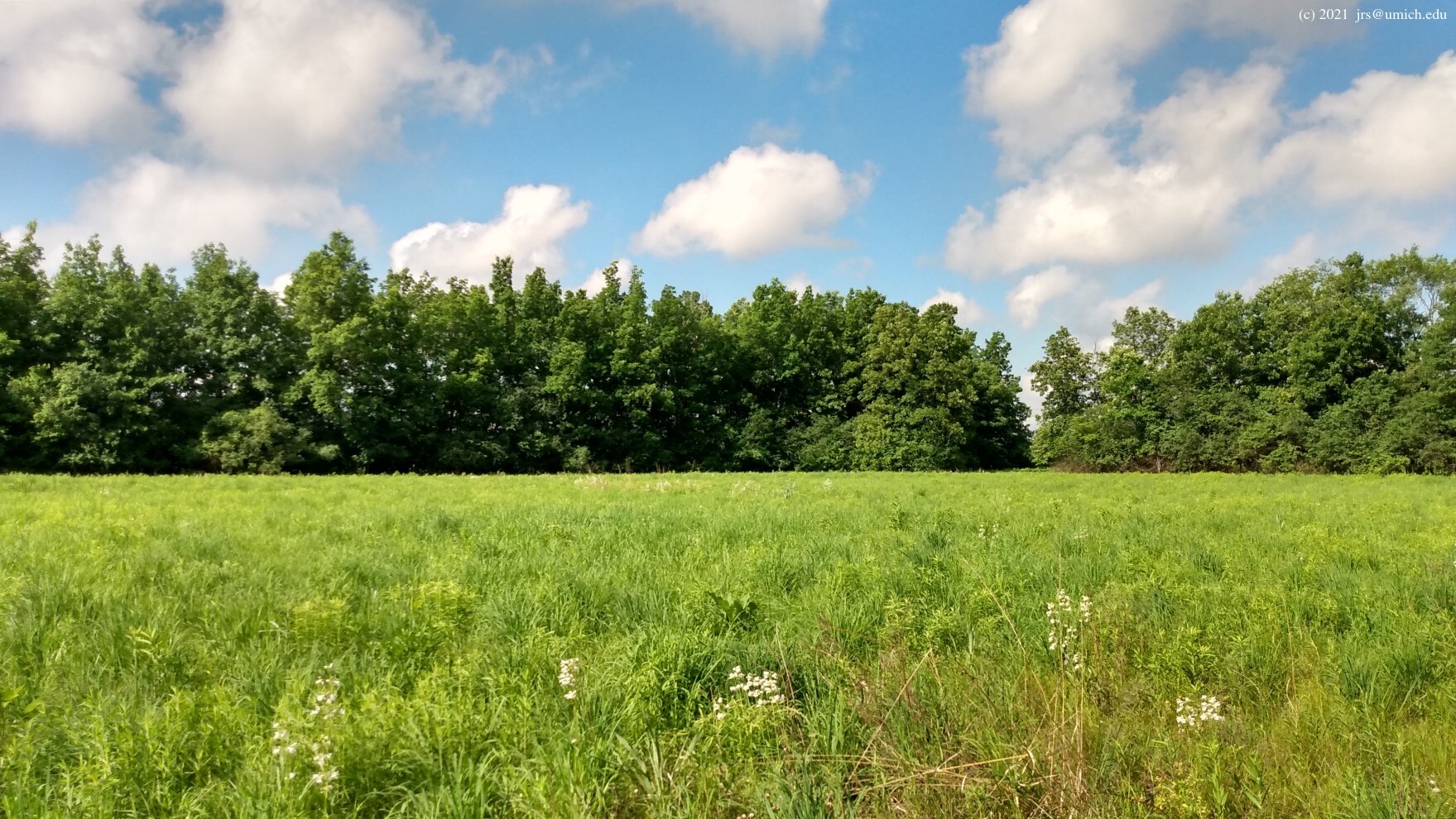
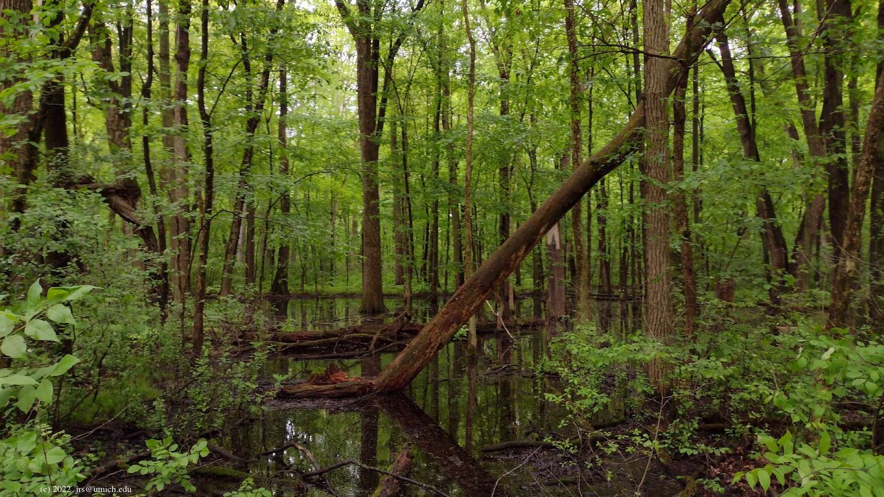
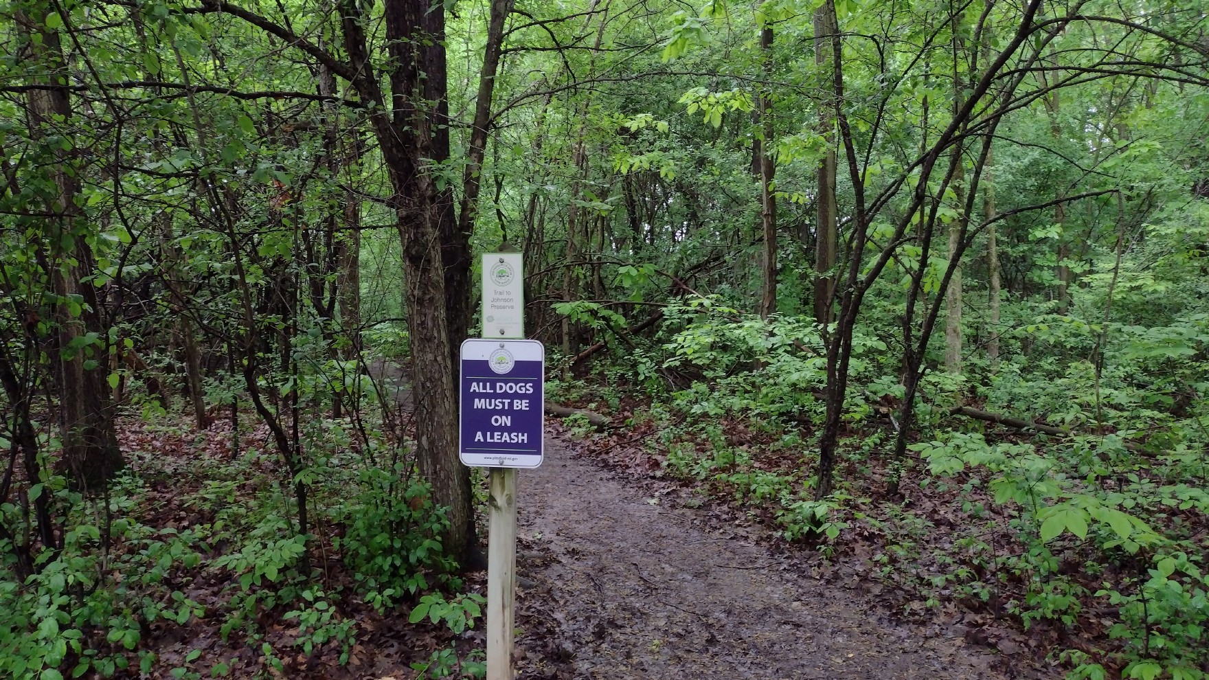
Photos from the Johnson Preserve:
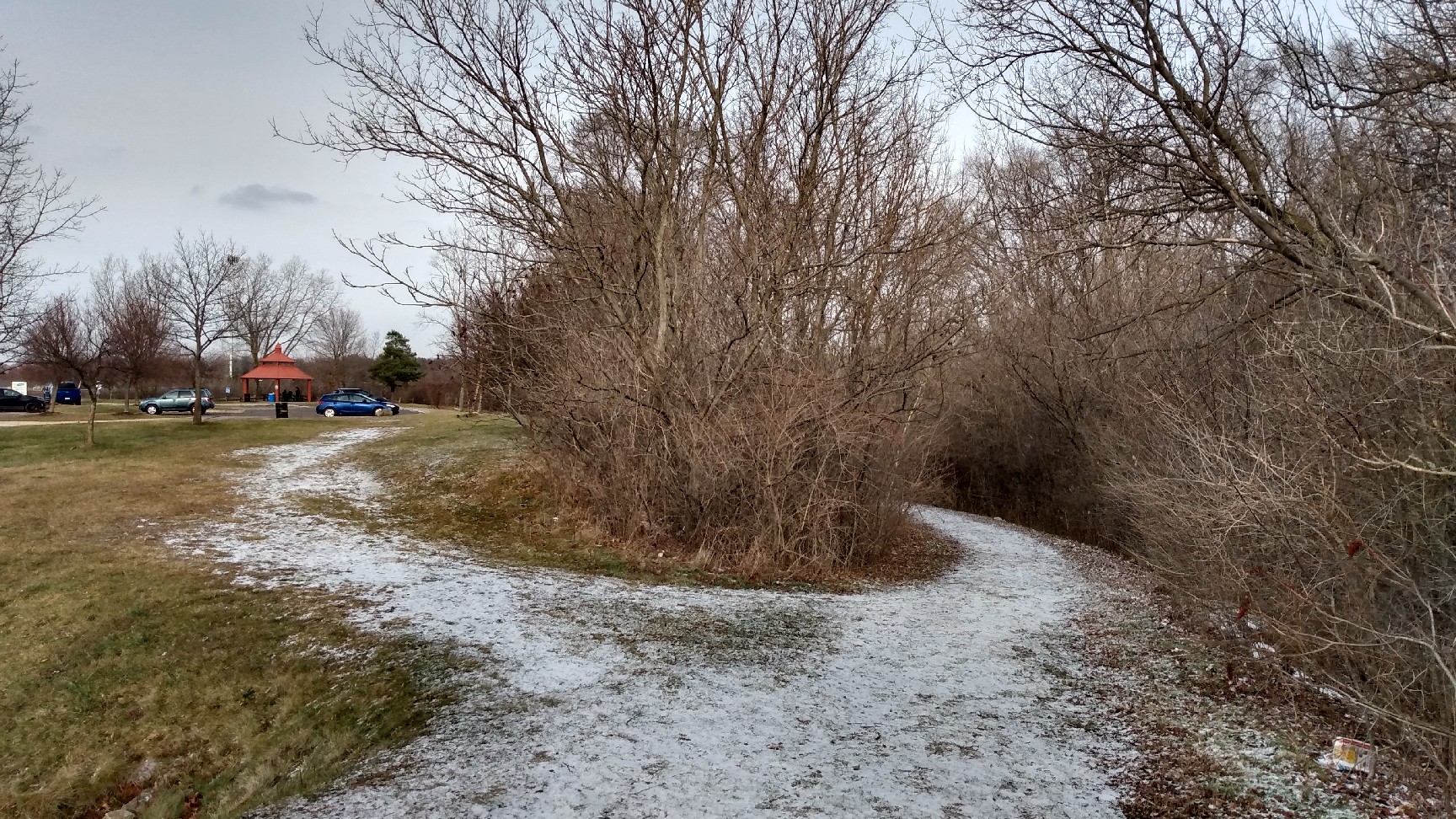
The first of the two
unmapped passages  into the Johnson Preserve may be found by heading east from the
pavilion
at the south end of Lillie Park. Take the right branch at the
next three forks in the trail you encounter.
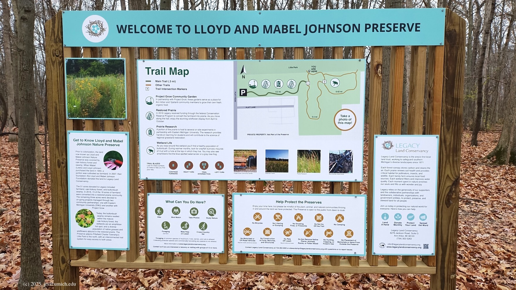
See the
Johnson Preserve trail map
or the OpenStreetMap. The OSM now shows the Johnson Preserve trails
and where they connect to Lillie Park.
into the Johnson Preserve may be found by heading east from the
pavilion
at the south end of Lillie Park. Take the right branch at the
next three forks in the trail you encounter.
See the
Johnson Preserve trail map
or the OpenStreetMap. The OSM now shows the Johnson Preserve trails
and where they connect to Lillie Park.
Leashed dogs are allowed throughout.
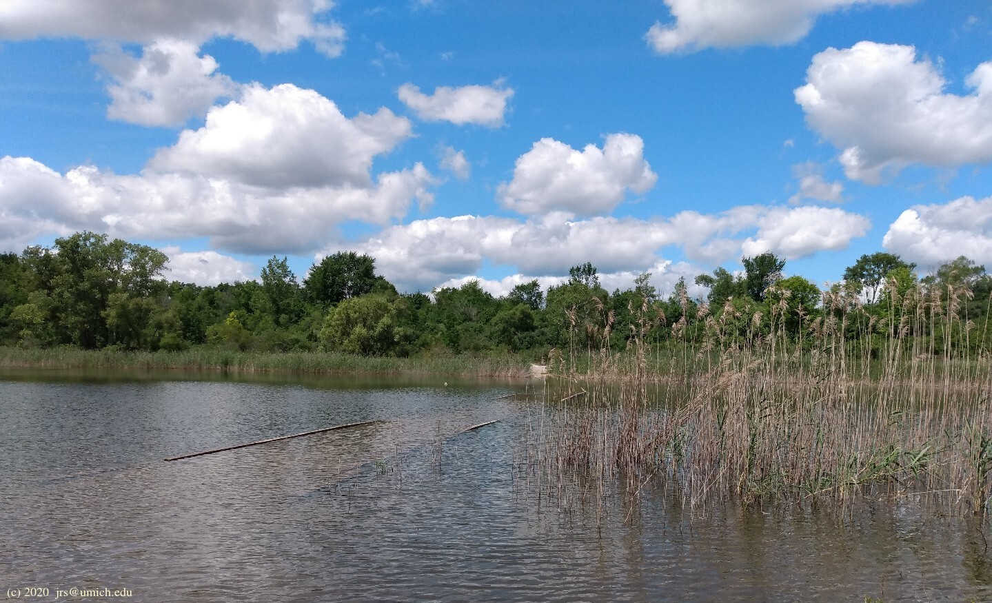
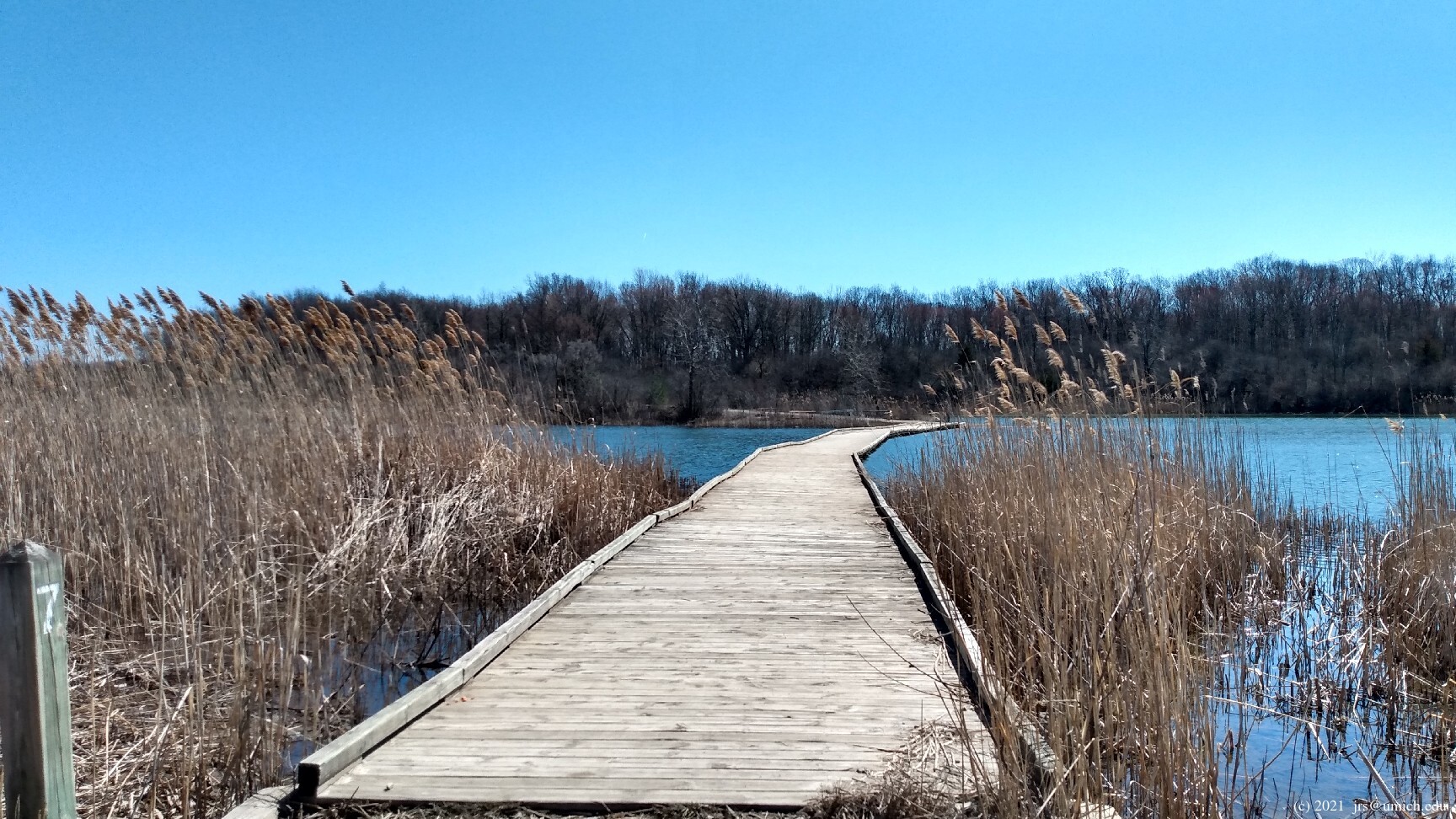
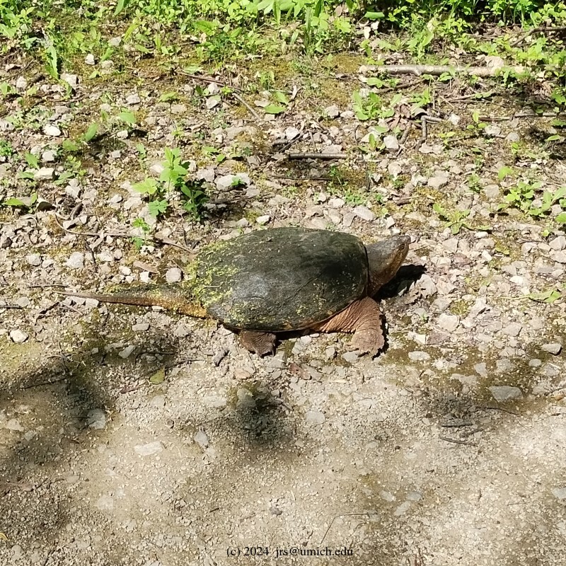
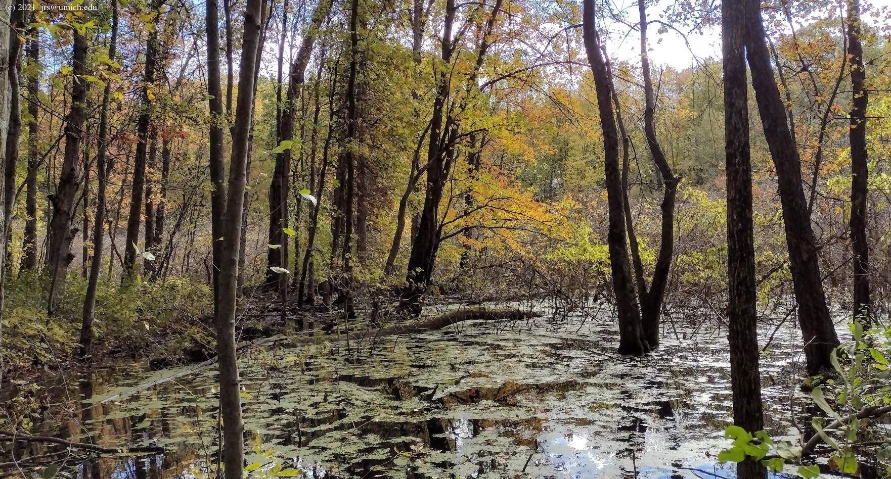
In theory, there is a long boardwalk that crosses Turtle Rock Pond. However, during the Summer of 2020, it was suitable only for amphibians (above left). By the following spring, it appeared to be functional again although still closed to the public (above center). In retrospect, it is possible that no human efforts were involved -- perhaps the water level in the pond had simply dropped. In any case, by May of 2022, the boardwalk had reverted to a submerged state. By August 2022, something more drastic was apparent -- removal of the boardwalk (above right).
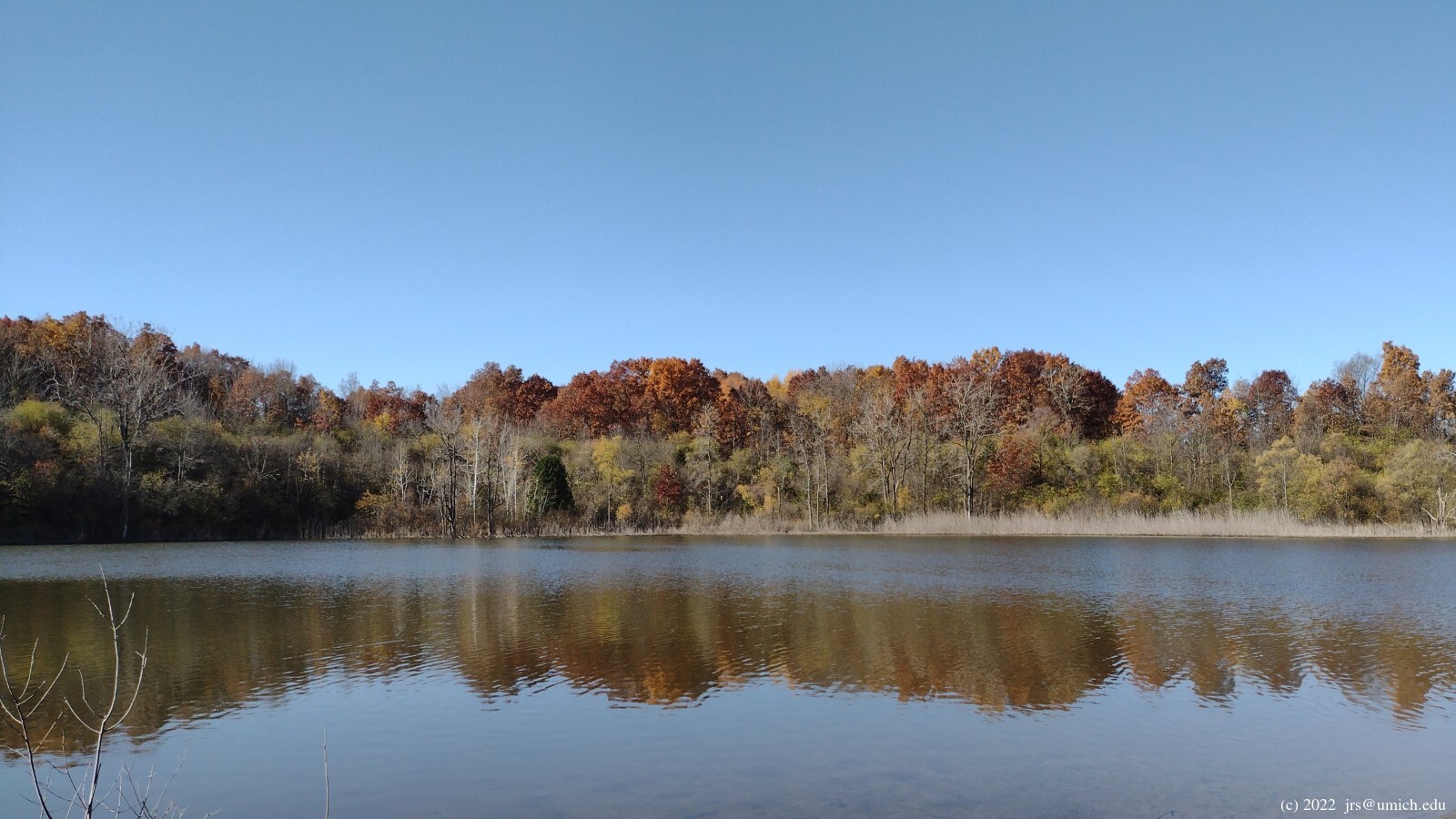
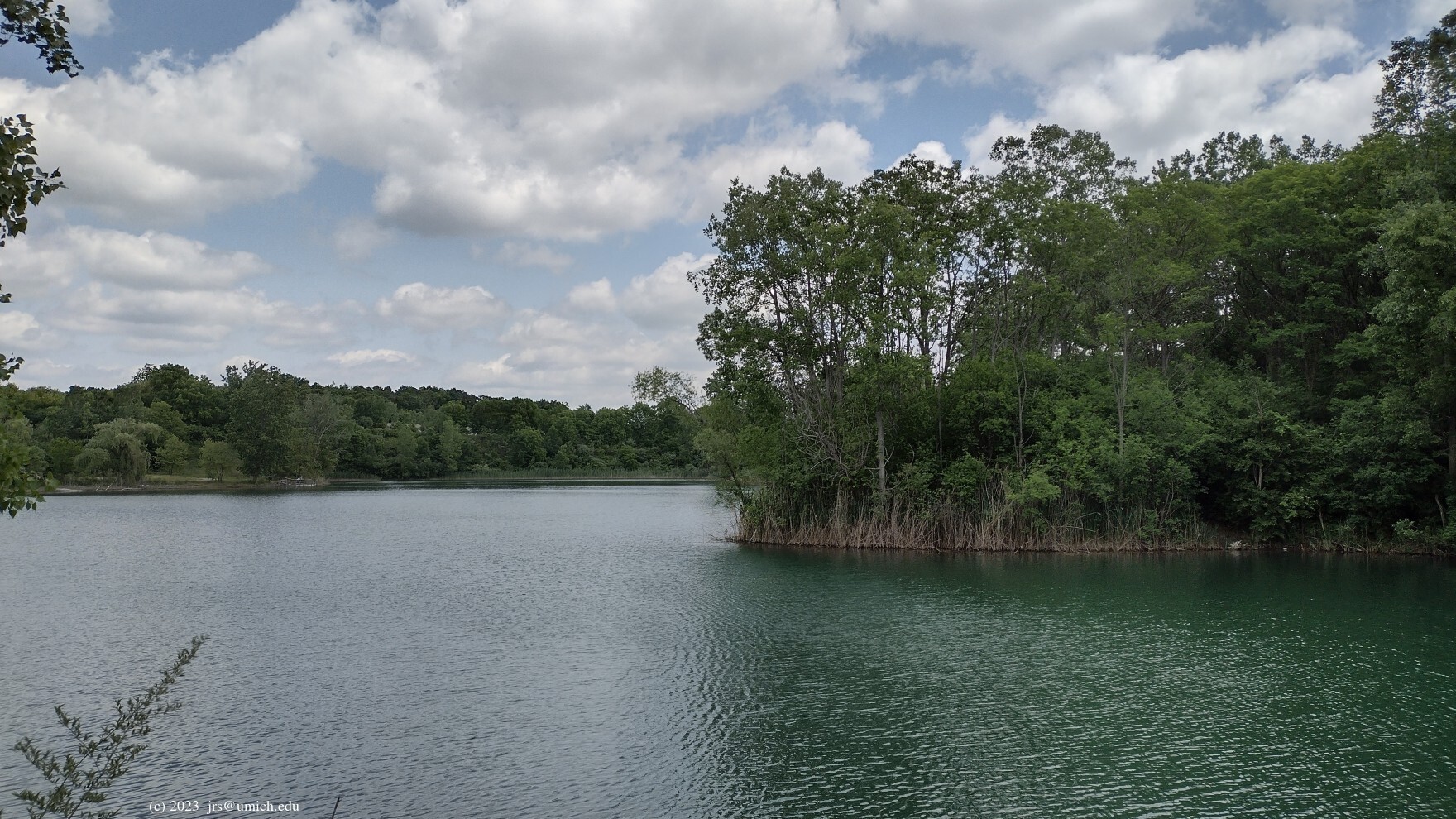
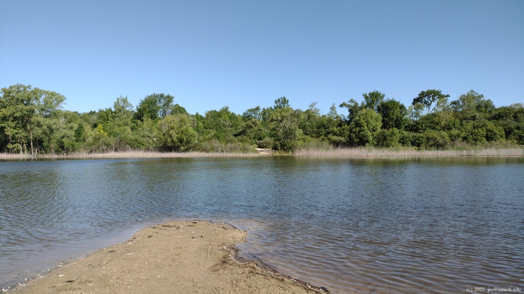
For hikers, the main attraction of Lillie Park North
is a rough, narrow trail that runs along the southeastern shore of
Haven Lake .
The entire path is shown on the
OpenStreetMap ,
but only parts of it are visible on the official park map.
To reach it from the south parking lot, walk north on the Platt Road
Greenway. Shortly after crossing the service road separating the north
and south, you will find a dirt road heading northeast that descends to
Haven Lake. You can also reach this road from the north parking lot --
walk south from the pavilion and then make a
hairpin turn
to the north. The trail will be on your right once you reach Haven Lake.
Another approach involves exiting from the northernmost section
of Lillie Park South (Loop F on the trail map) onto the service road
and following it southwest towards Platt Road.
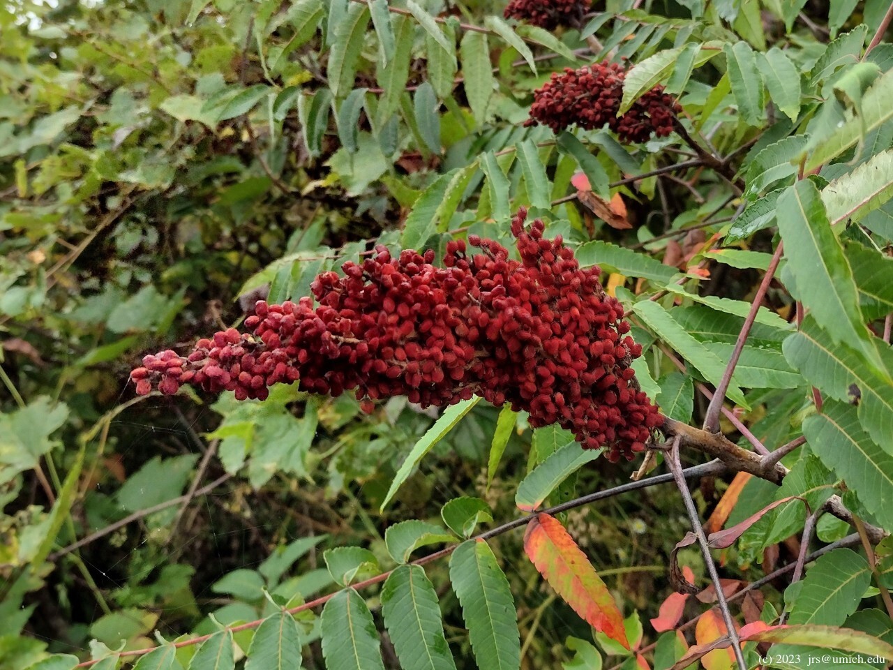
Although it is arrow-straight and utilitarian, it is also unpaved -- an
advantage in icy conditions. And in the warmer months,
the road will be lined with
wildflowers
and
sumac in bloom .
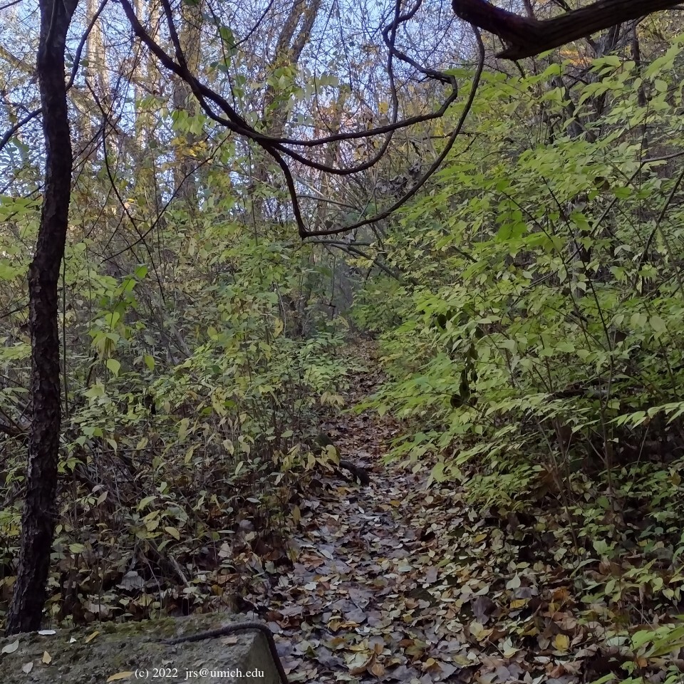
It is evident that the northern trail is no longer maintained.
In any case, as you progress along the shoreline, the
trail gets narrower
and the brush thicker. At some point you may need to turn back
and retrace your steps, or exit by fighting your way up the embankment
to the service road. Ice in the winter, mud in the spring,
and thick underbrush in the summer and fall can make this difficult
if not impossible. If you manage to push through to the end of the trail,
you can cross the service road and re-join the trails in Lillie Park
South at Loop F.
New! I've saved a GPX route map [What's this?] that shows a 2.5 mile loop through Lillie Park South and the Johnson Preserve, as well as a secondary 0.75 mile Northern Challenge loop.
From downtown Ann Arbor, head southeast on Packard. After it bends to the east, turn right (south) onto Platt. Once you cross Ellsworth, the north entrance to Lillie Park is the first driveway on the left, and the south entrance is the third driveway on the left. (The second left is a private road.)
Unless you want to start your hike with the Northern Challenge, you should plan on using the south entrance.
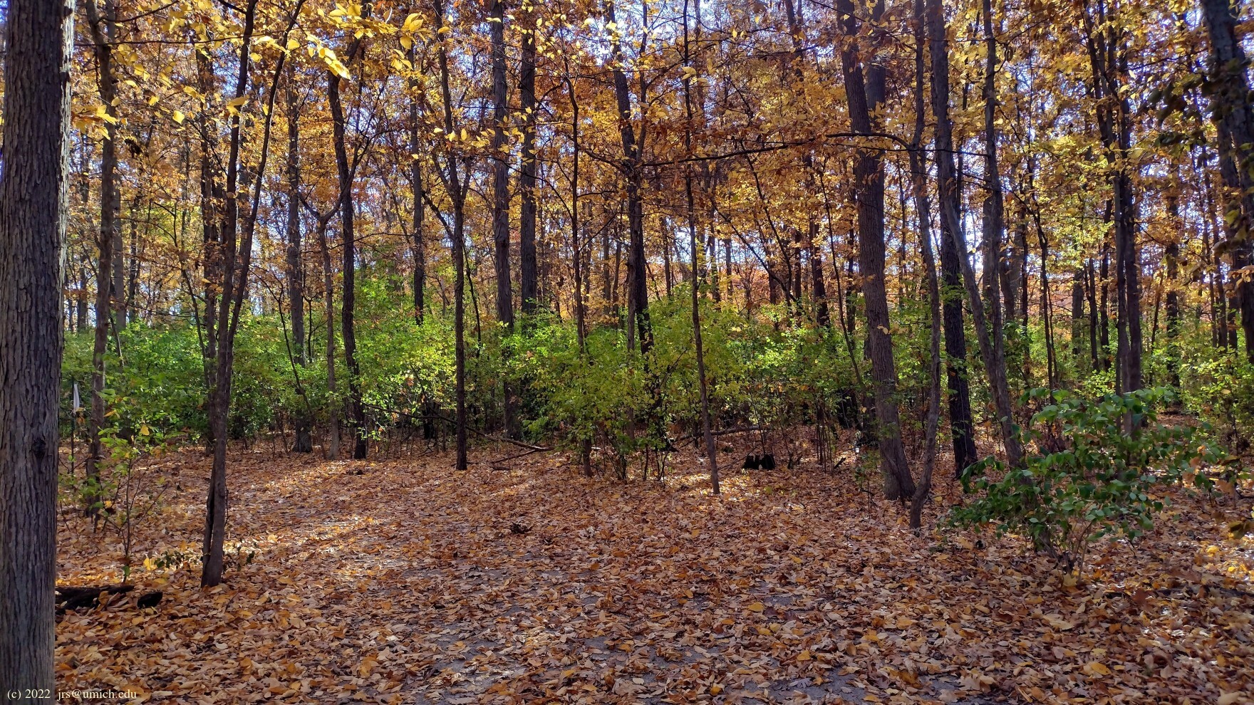
If you start your walk at Johnson from the parking lot you can enjoy a mile-long trail which passes through active farm fields, enters the forest and loops around the button bush swamp on the Harlie Smith boardwalk. A couple connectors to Lillie Park’s trails branch from the woodland trail. Fall colors are especially nice in this woodland. On your walk notice large oak and hickory trees marked with blue circles. These trees were marked at some point as “keepers” for the housing development that was to take place before the land was preserved by Legacy.