 (main trailhead ),
OpenStreetMap
(main trailhead ),
OpenStreetMap
 (main trailhead ),
OpenStreetMap
(main trailhead ),
OpenStreetMap
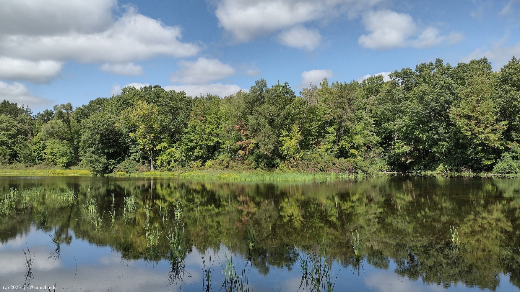
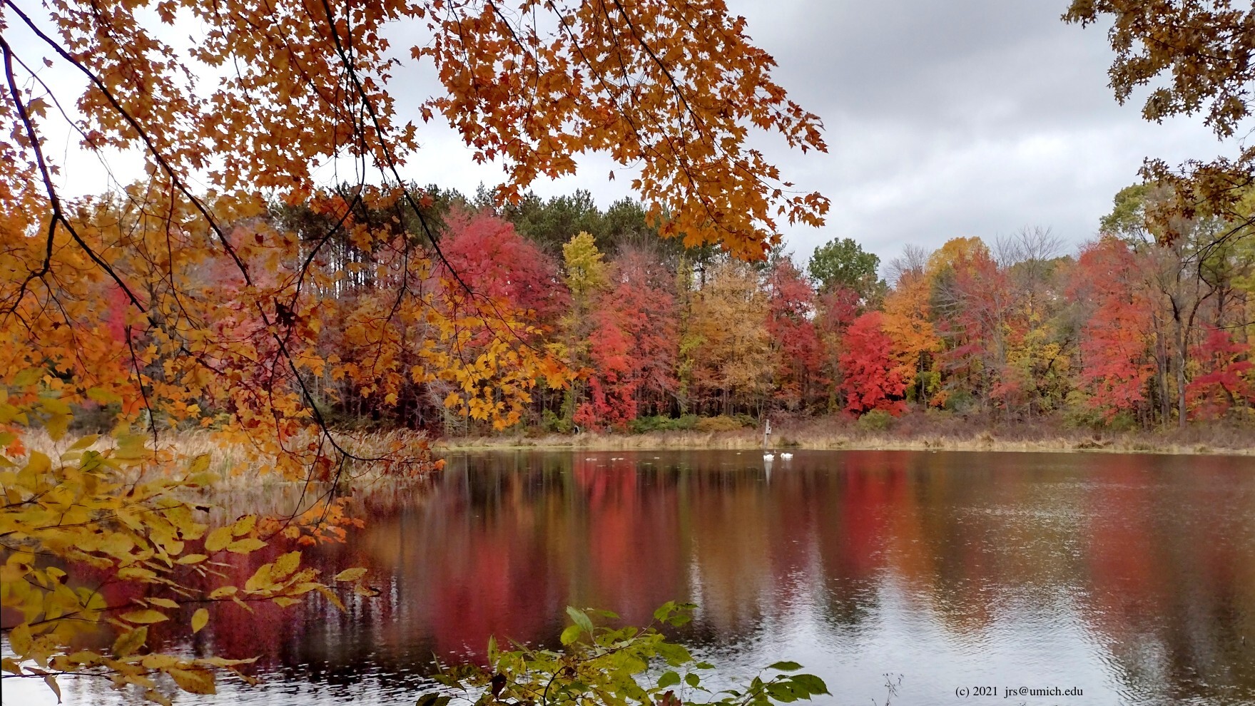
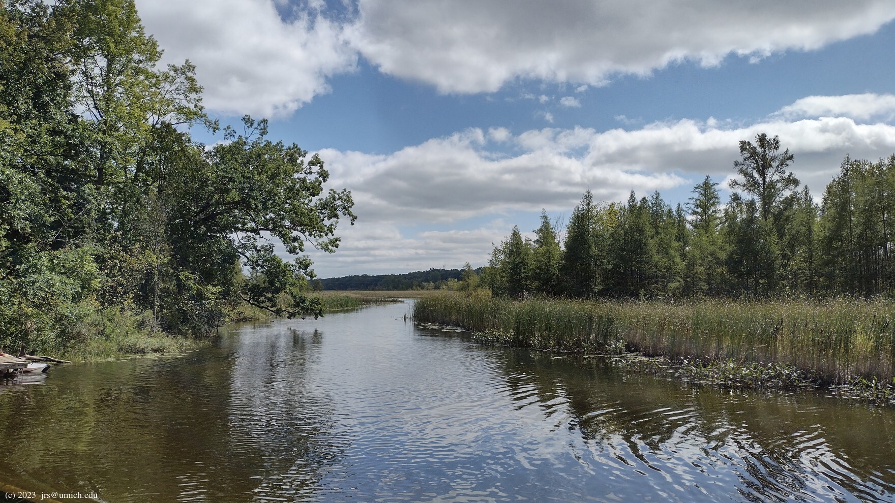
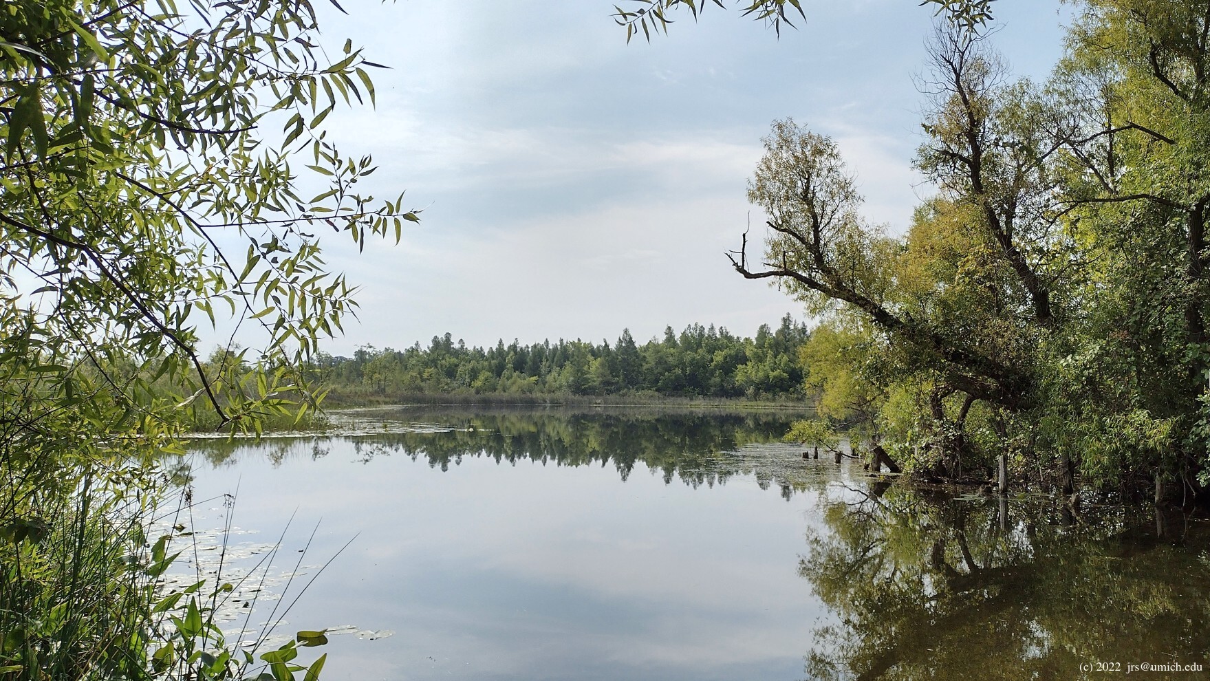
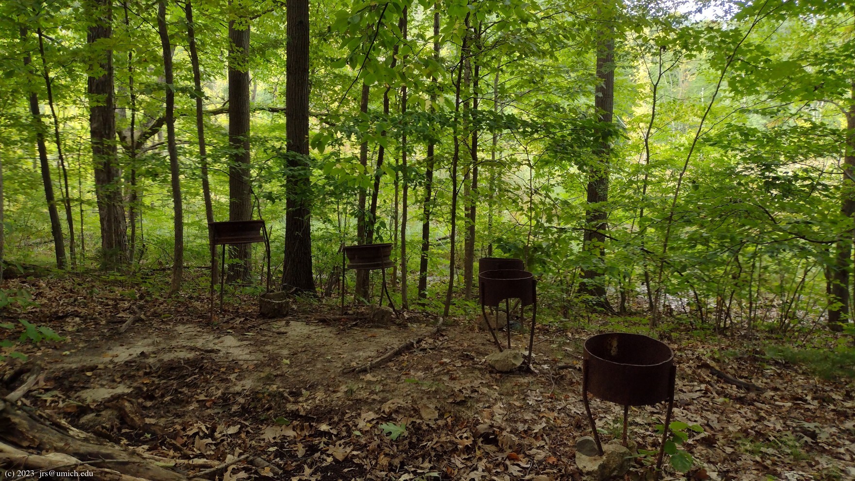
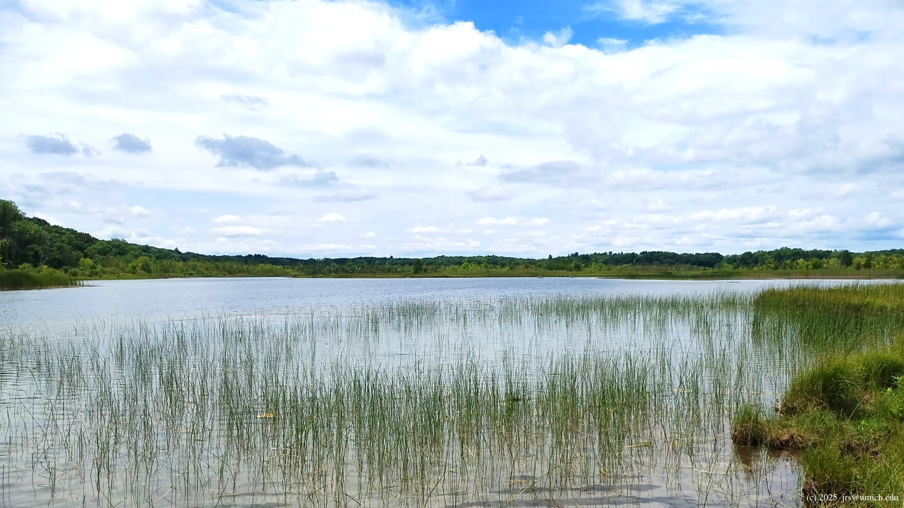
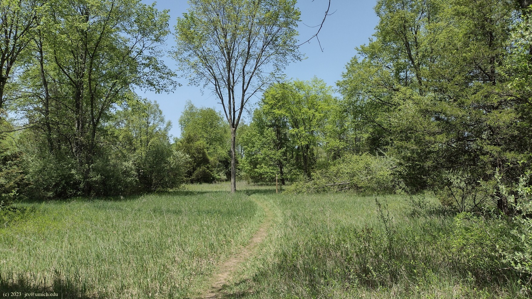
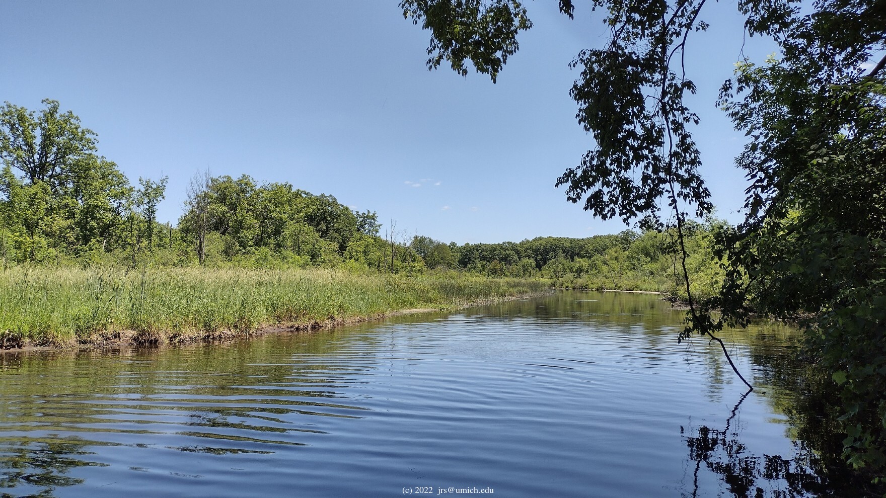
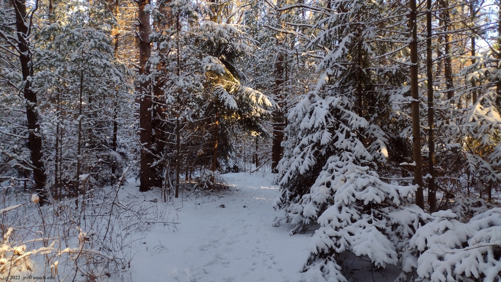
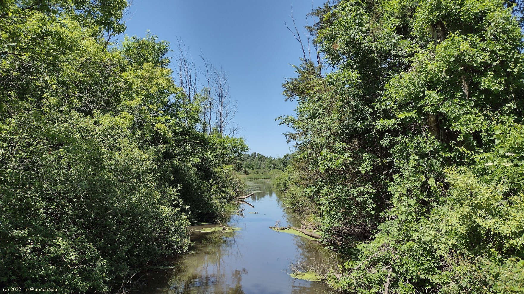
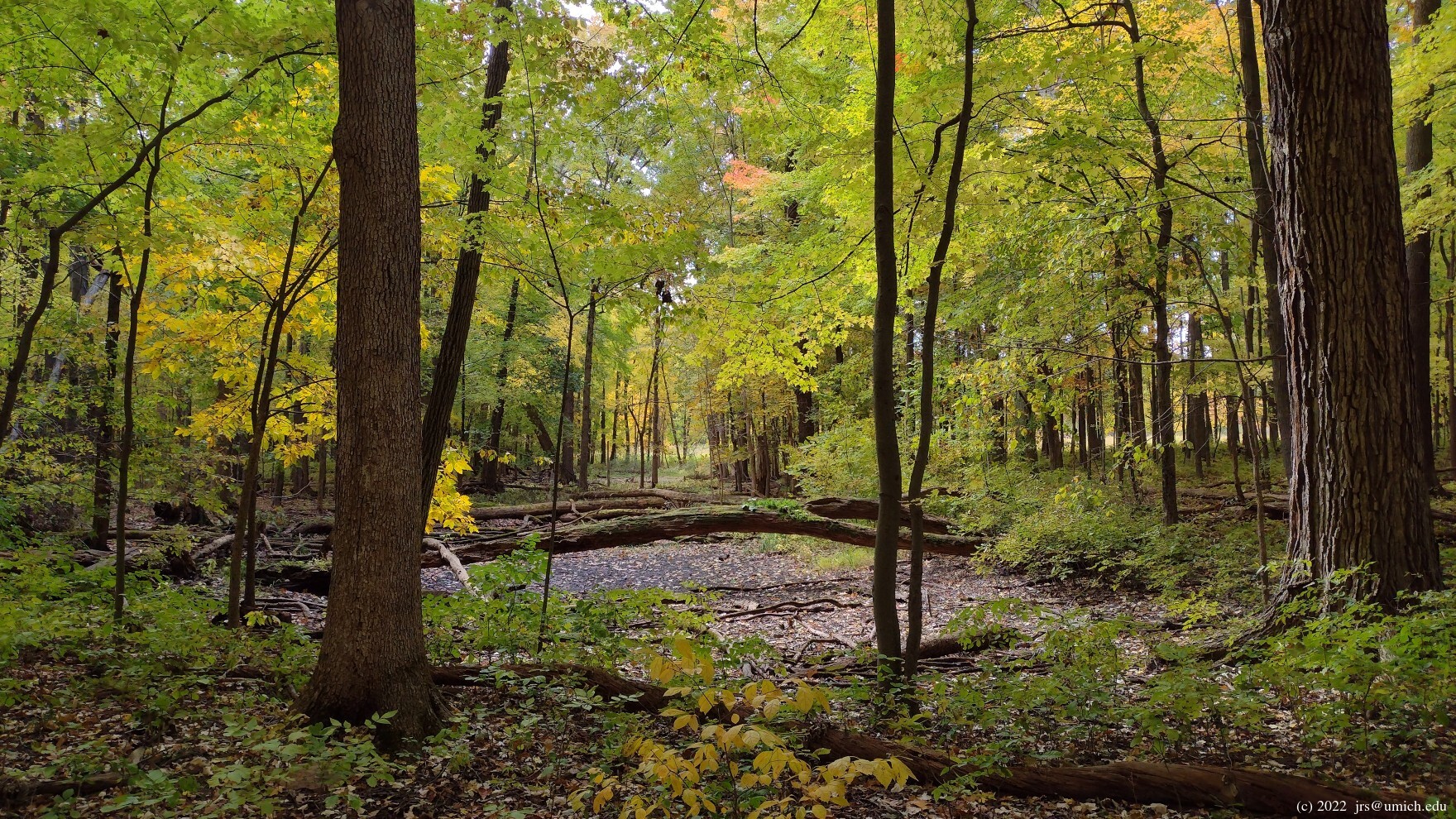
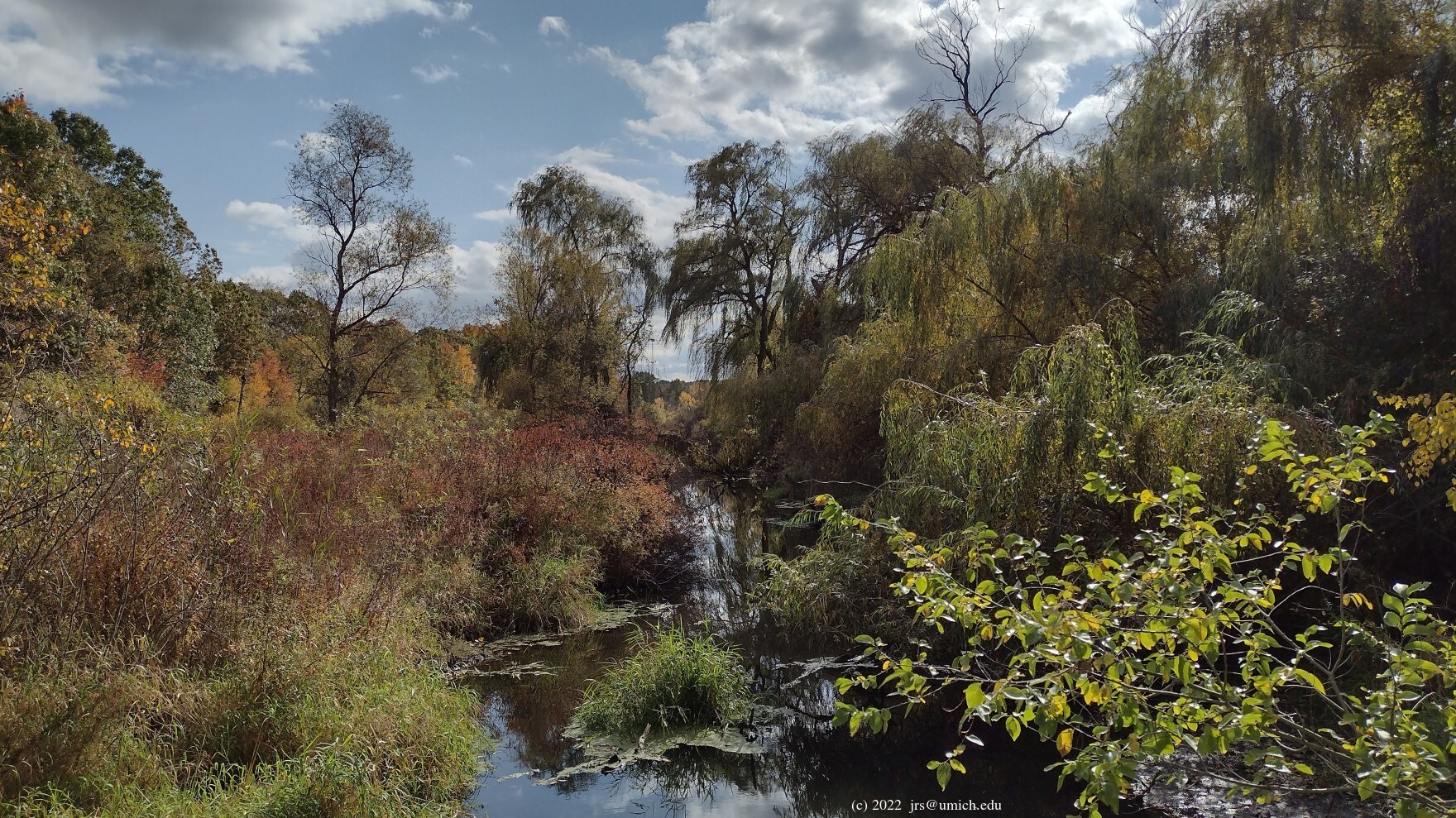
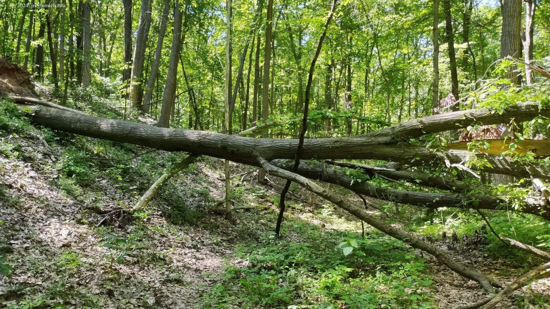
Photos from the Marsh Trail and from vantage points along the Huron River:
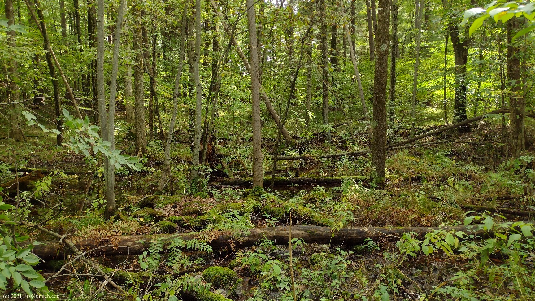
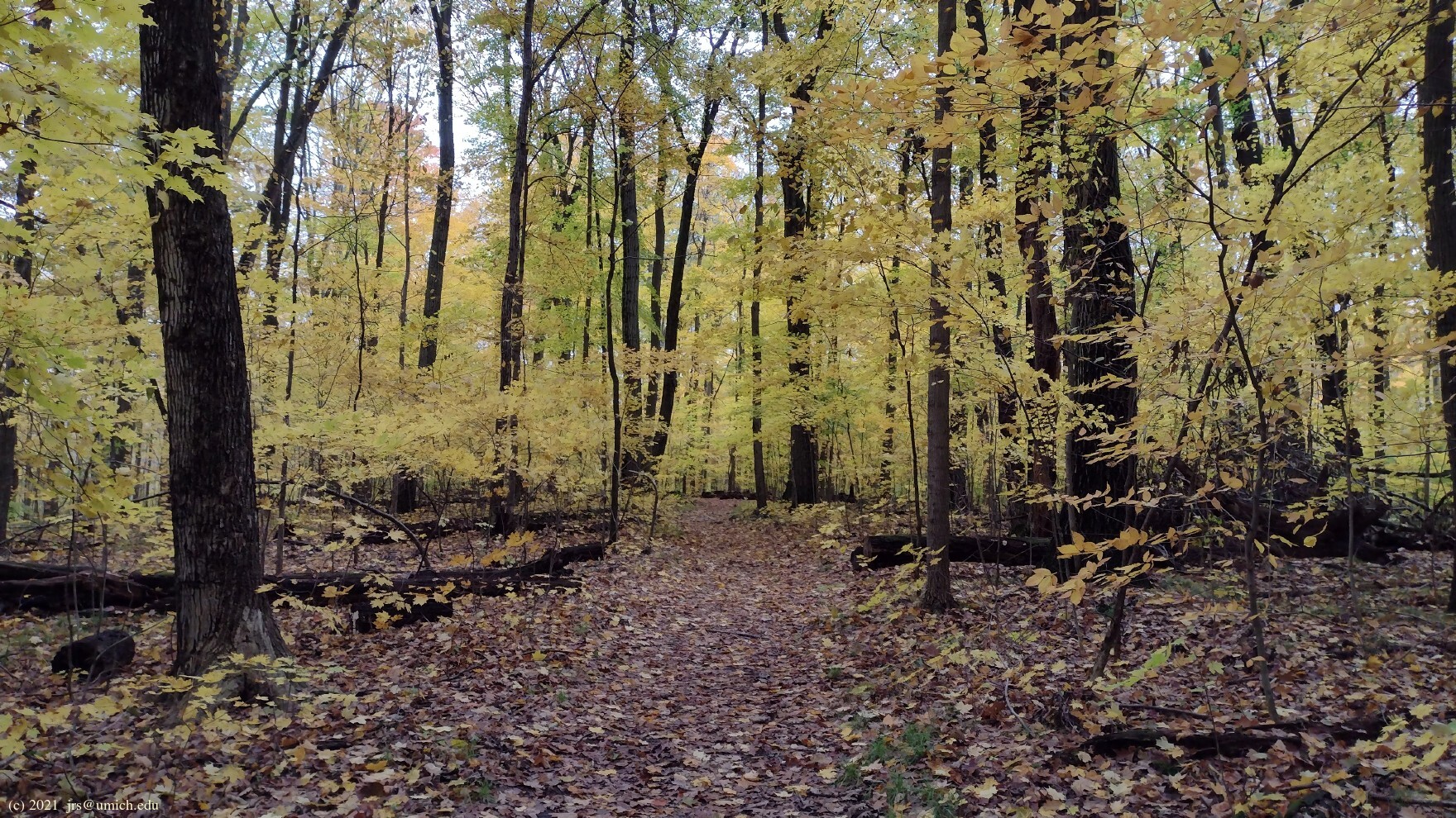
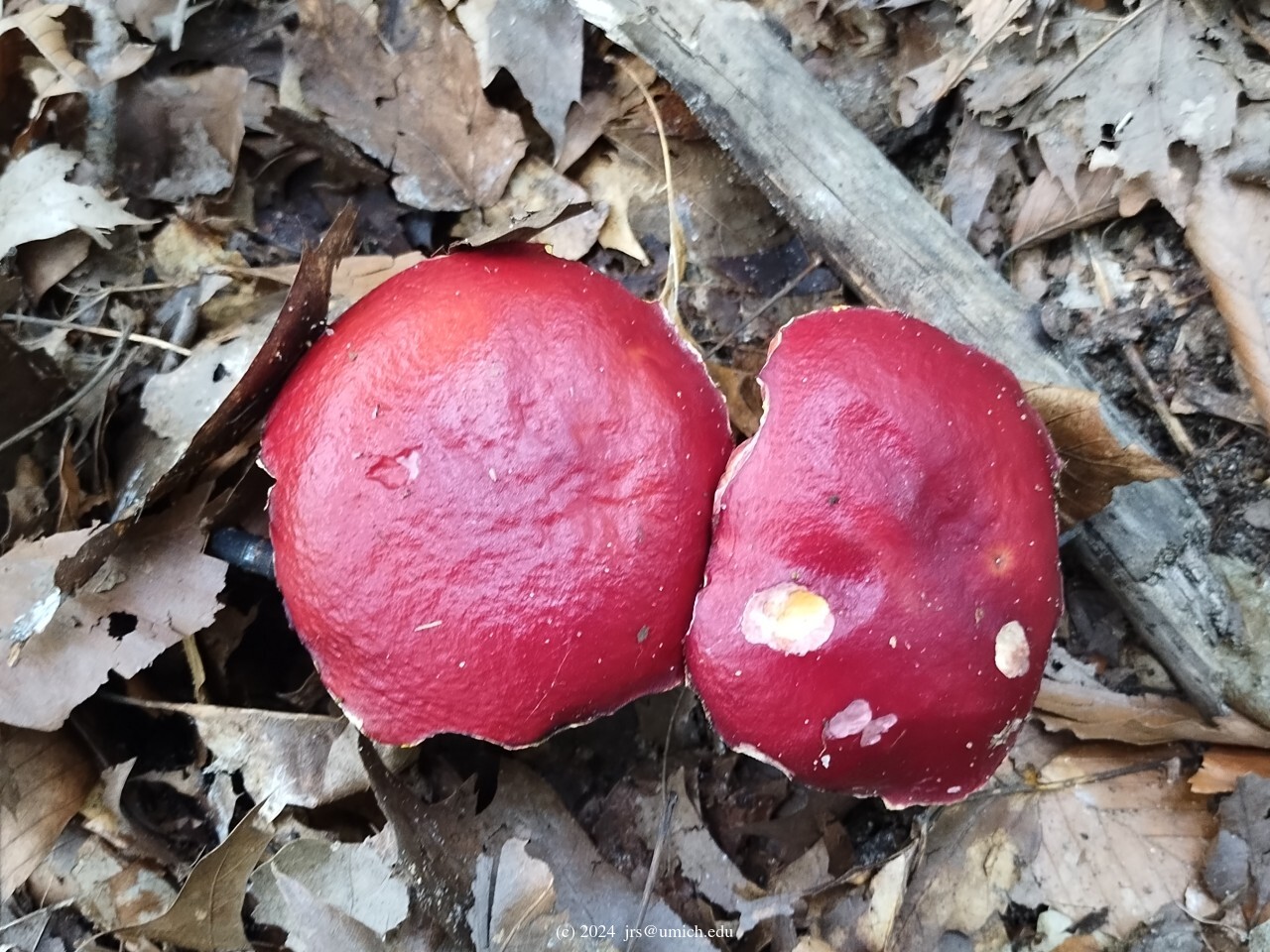
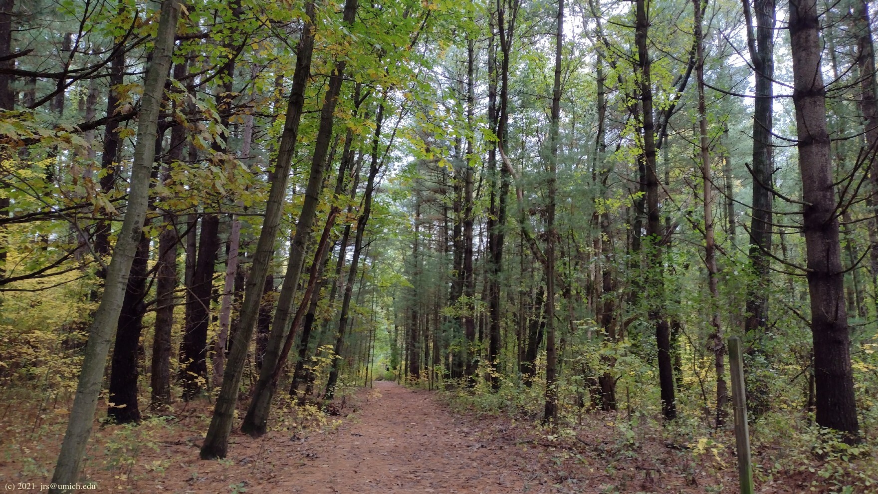
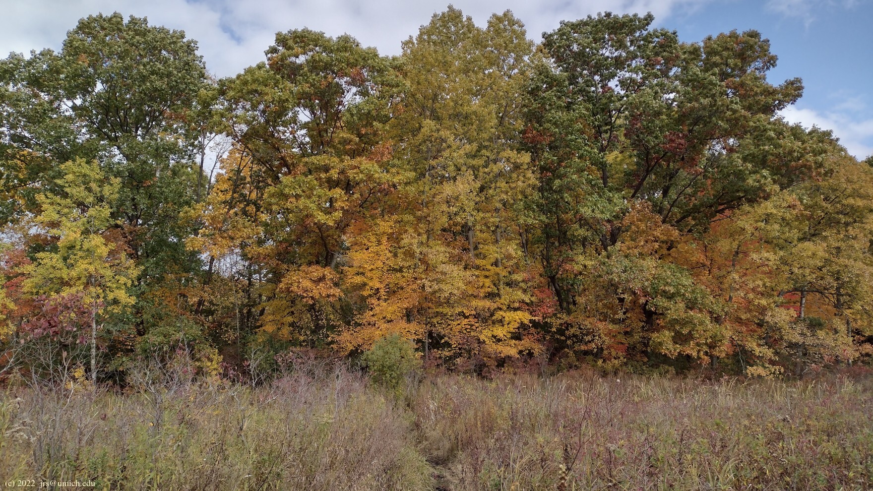
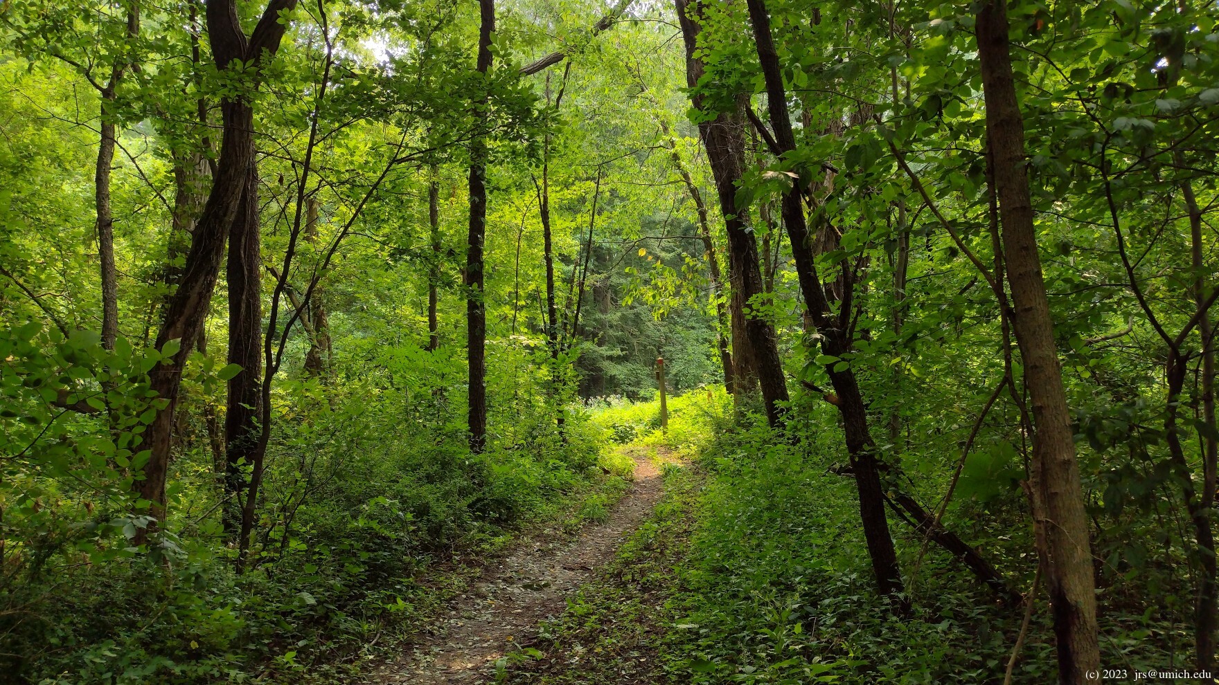
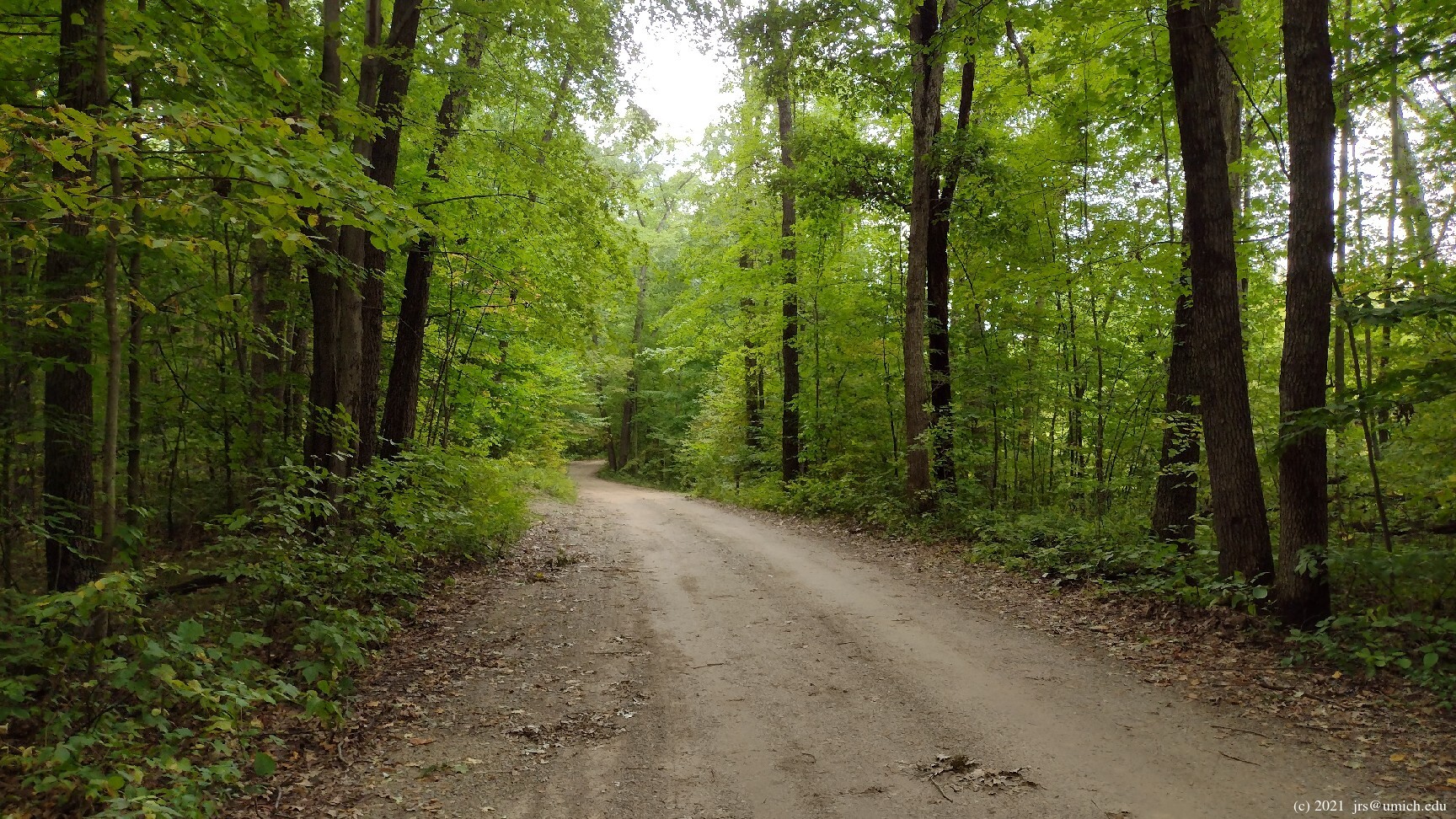
Photos from the Red & Blue Trails:
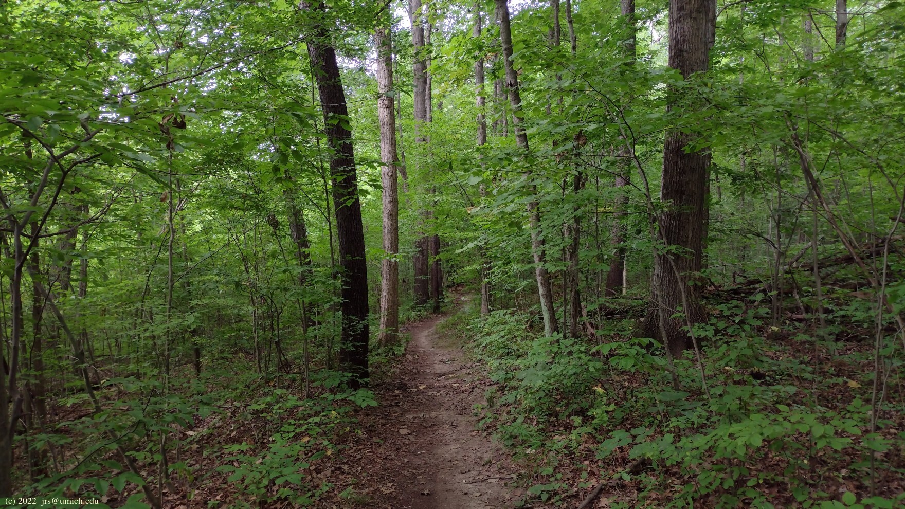

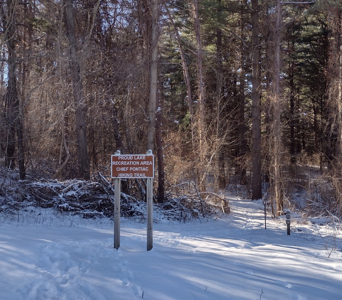
The Proud Lake Recreation Area has a network of easy-going hiking trails
that pass through a beautiful combination of woods and waterways.
Highlights include trail segments along the Huron River and around a
pond that is frequented by waterfowl. There is also a spur trail leading to
Proud Lake  .
.
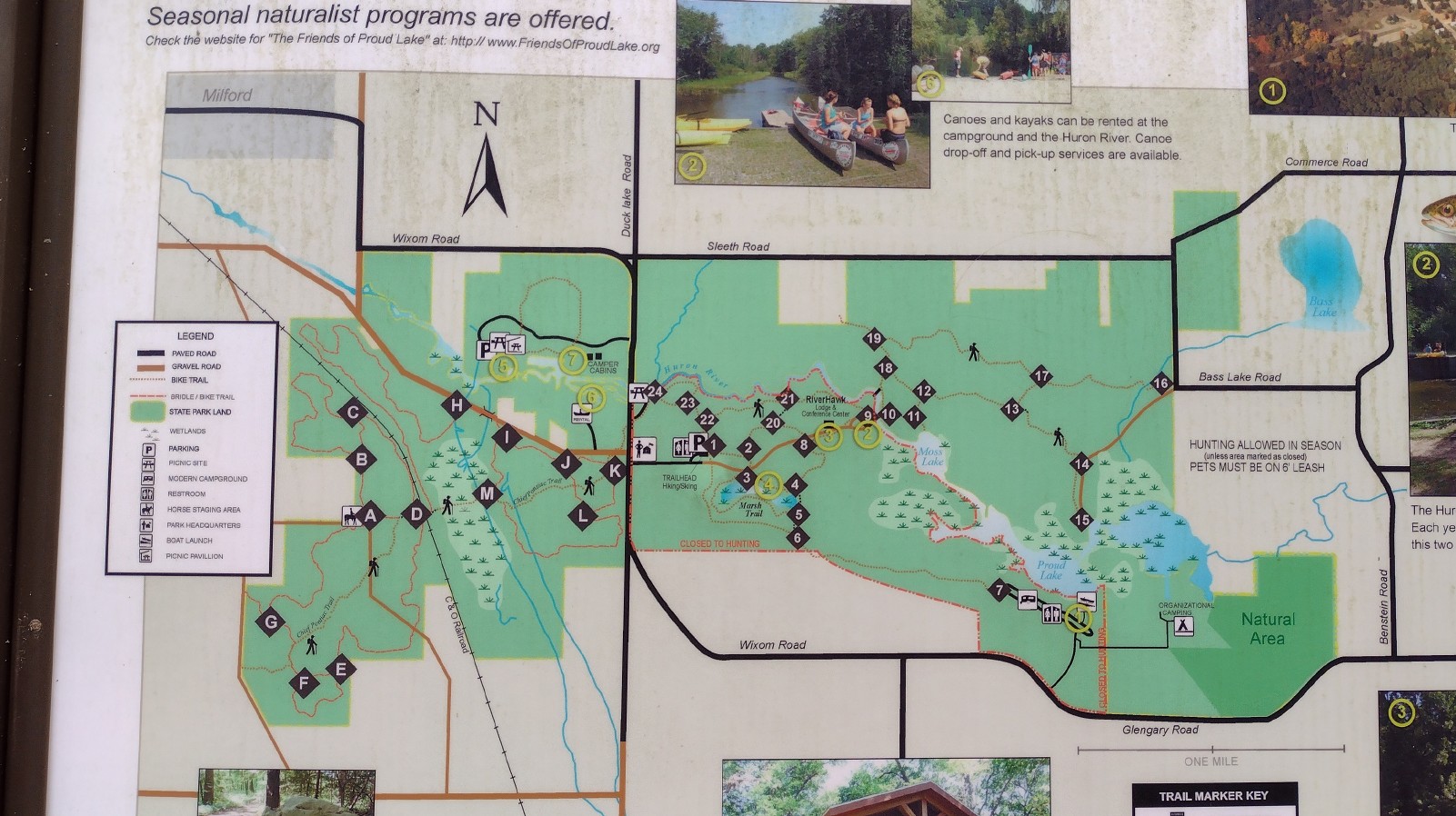
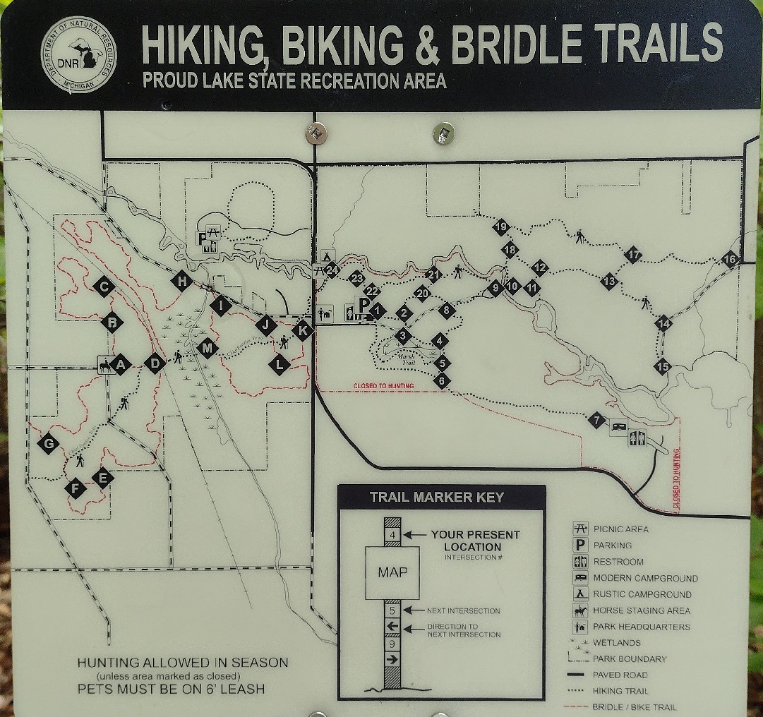
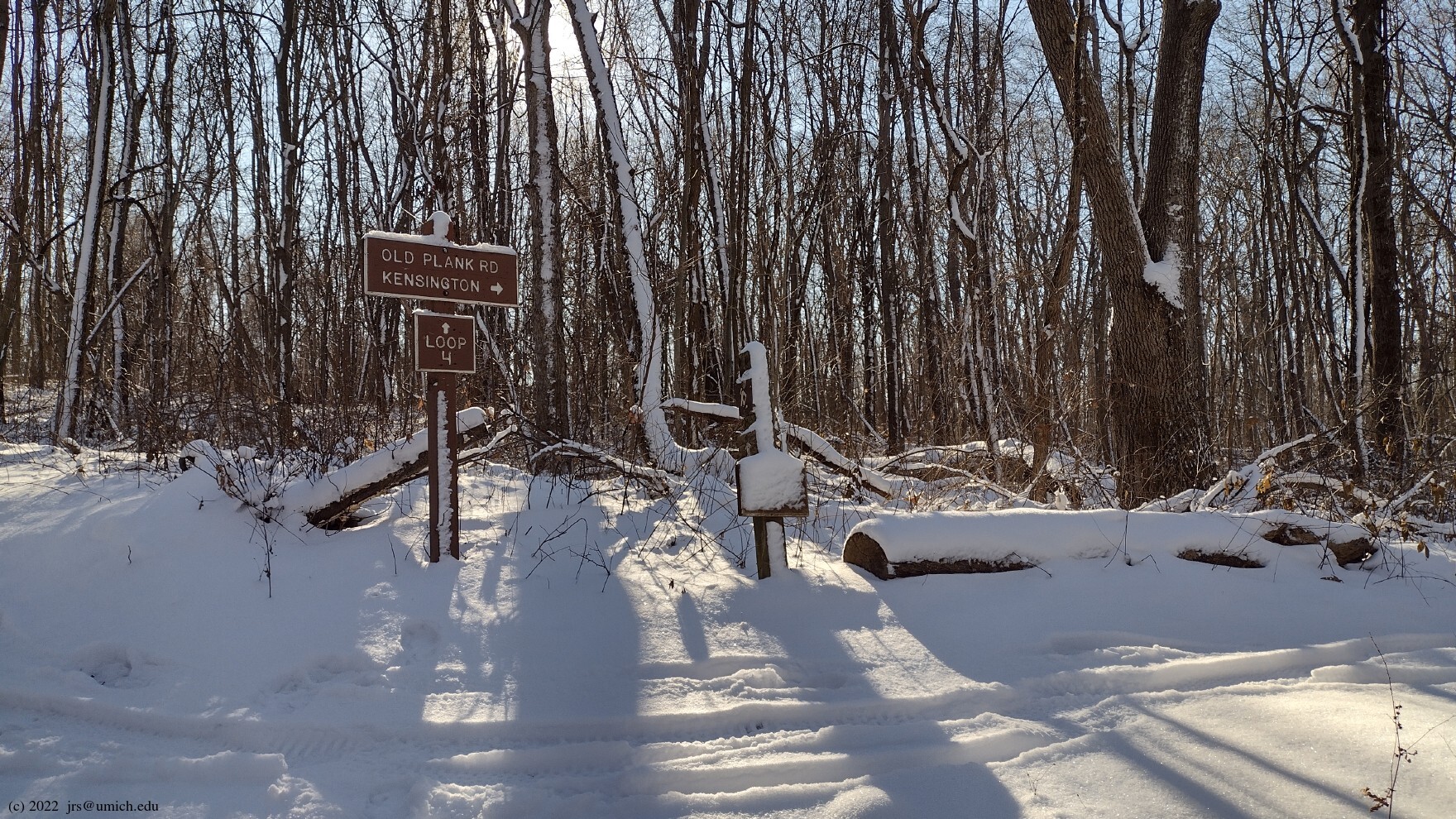
Most of the hiker-only trails are on the east side of Wixom Road. There you will find numerous options, including three loops: the Marsh Trail and the overlapping Red and Blue Trails. West of Wixom there are several multi-use trails for hikers, equestrians and mountain bikers. Cutting across both sides of Wixom is the Chief Pontiac Trail, a point-to-point hiking trail that runs parallel to the Huron River on the east side, through the fishing/picnic area at Marker 24[*] near Wixom Road, followed by a long gentle ascent on the way to Old Plank Road at the western boundary of the park.
[*] The marker locations are shown on the above trail maps (JPG).
Leashed dogs are allowed on the hiking trails, but bikes and horses are not.
Be aware that hunting (in season) is allowed in the park, although there is a no hunting zone that encompasses the parts of the hiking trails that are east of Wixom Road and south of the Huron River. This includes the Marsh Trail but not the Red and Blue Trails.
The topography east of Wixom is relatively flat -- the difference in elevation between the highest and lowest points on the trail network is less than 30 feet. Given the proximity to several bodies of water, it should therefore come as no surprise that you may find mud or even flooding on the trails at any time. For example, during one visit, the passage between Markers 10 and 18 along the Huron River was challenging, and between Markers 21 and 22 on the Chief Pontiac Trail, there was a section of boardwalk submerged under 3 inches of standing water. For winter hikes, you might need ice cleats.
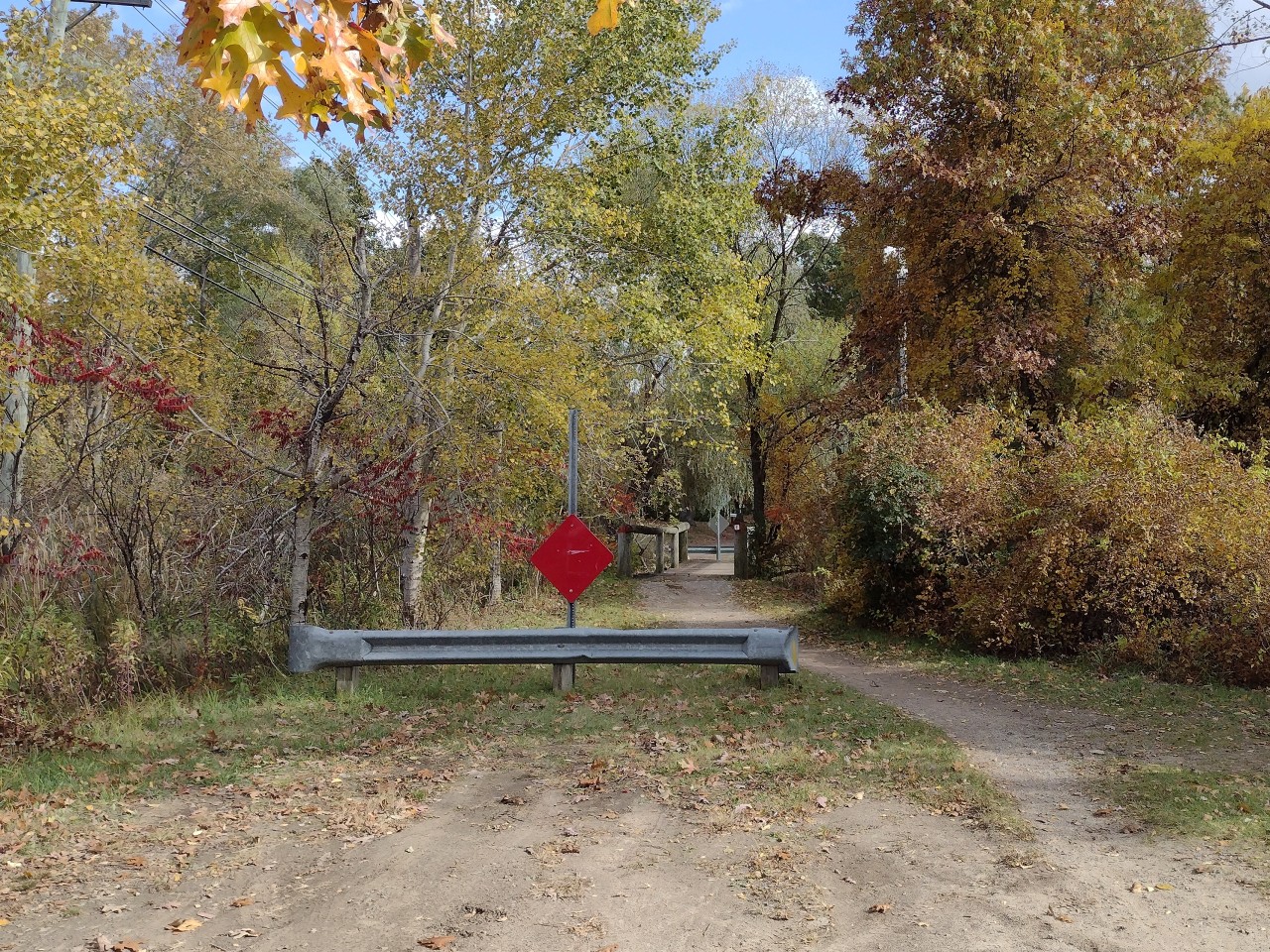
On your first visit to Proud Lake, you will probably want to explore some
combination of the Red, Blue, and Marsh Trails. Starting out from the
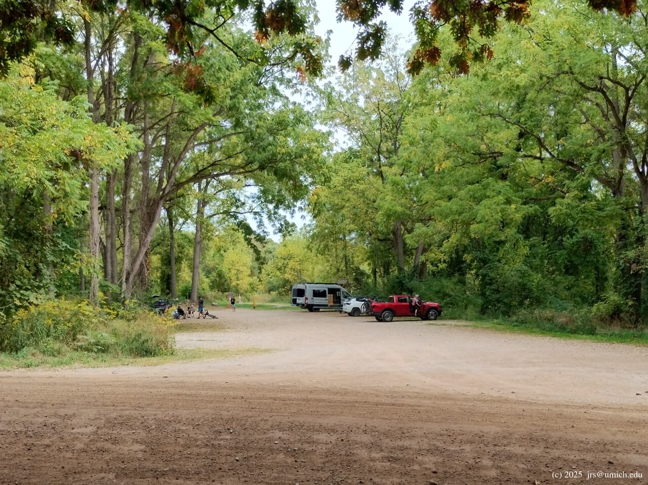
main hiking trailhead
near the park headquarters off Wixom Road, you have the option of heading
north, east, or south.
The south option leads to the Marsh Trail, which loops around a scenic
pond offering views that can occasionally be
spectacular .
Although you might expect from its name that the Marsh Trail would be one
of the likeliest places for encountering mud, it tends to be relatively dry.
Most of the trail sits well above the level of the pond.
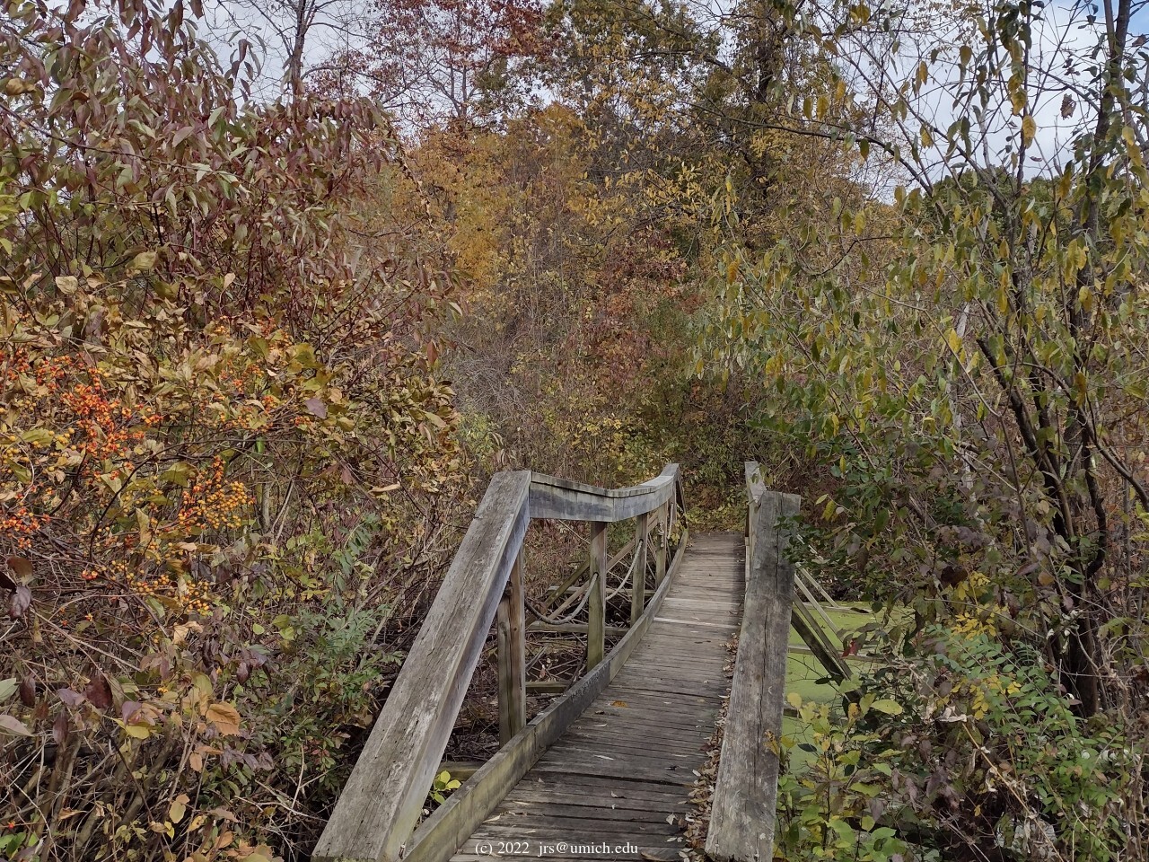
Hiking north and west from there via Markers 4 and 8 to Marker 9 will
take you to a bridge across the Huron with additional
captivating views .
On the other side of the Huron, you will find the overlapping Red and
Blue Trails. The latter is a 3 mile loop that has a shortcut across the
middle that connects Markers 13 and 17. Hiking the 1.8 mile Red Trail
amounts to following the Blue Trail, but taking the shortcut.
The Blue Trail offers a worthwhile side trip to
Proud Lake
at Marker 15. If you are traversing the loop counterclockwise,
after you pass through Marker 13 heading east you will end up
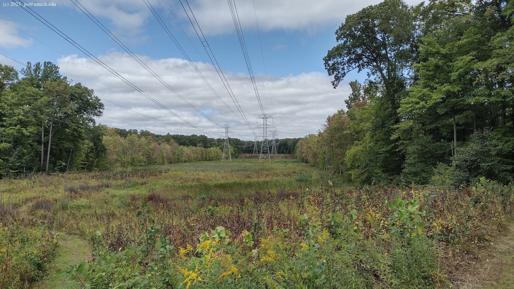
out in the open
while passing underneath some high voltage power lines.
The trail forks here, with the left branch continuing eastbound
through Marker 14. Instead you should take the right branch as it
follows the power lines south before bending back to the east and
into the woods. After a short distance through the woods, you will
emerge at Marker 15, where a boat launch for Proud Lake is located.
From Marker 15, walk north along the boat launch access road for 0.65
miles to Marker 16 and the resumption of your Blue loop. This walk is
likely to be
pleasant
-- the access road is unpaved and has minimal traffic.
On MapPedometer, I have saved a route map for
a basic 5.8 mile hike
that follows the above directives and uses a segment of the Chief Pontiac
Trail to return to the trailhead.
*
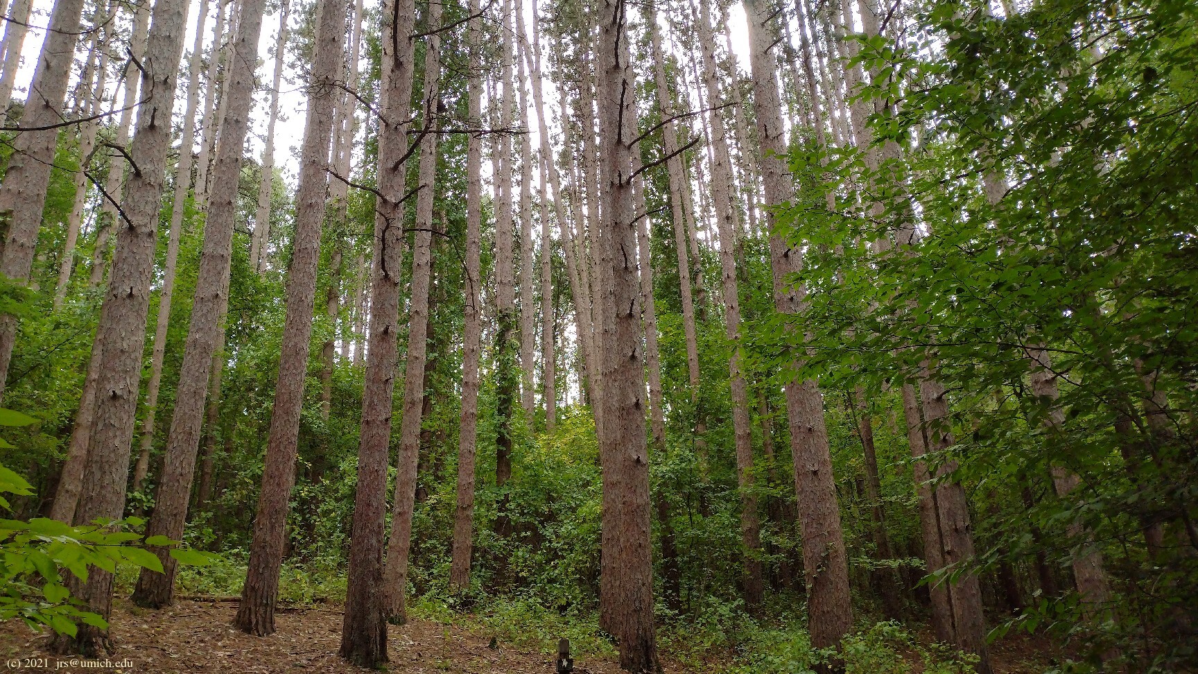
The trail segment connecting Markers 2 and 20 has a beautiful
stand of red pines
that were planted in the 1930s as part of the
WPA .
More of these pines line the main entrance to the park off of Wixom.
*
On your way to Marker 15 and Proud Lake on the Blue Trail, there is another
fork in the trail
at the point where you turn east (left) into the woods.
The right branch of this fork is a 0.2 mile spur that continues further
south underneath the power lines, ending at the shore of Proud Lake. The
wide-open view
here is superior to what is available from Marker 15.
*
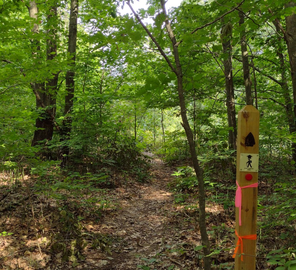
On the Red/Blue Trail between Markers 17 and 19,
a new 0.4 mile section of the Chief Pontiac Trail opened up in 2022.
It is shown on the OpenStreetMap, but not on the trail maps.
While the existing Red/Blue Trail stays in the woods adjacent to
wetlands, the new trail runs farther north in
open fields
dotted with trees. Look for
trail markers blazed with the CPT logo
at the entry points about 0.15 miles west of Marker 17 and 0.3
miles east of Marker 19.
* North from the main trailhead ...
... are the Upper and Lower Pines
Organizational Campgrounds. Assuming they are not in use, it is
worthwhile to include a side trip into this area on your hike.
A 0.8 mile round trip from the parking lot to Markers 22, 23, the
Lower Pines Camp ,
and the
picnic/fishing area
at Marker 24 will provide some
great views
of the Huron River.
 at Marker A where
East Dawson Road meets Childs Lake Road ,
on South Milford Road, where there is a nearby 2 mile unpaved hike/bike
trail and a 2.4 mile equestrian trail that both connect Kensington
Metropark with the Proud Lake Recreation Area, or
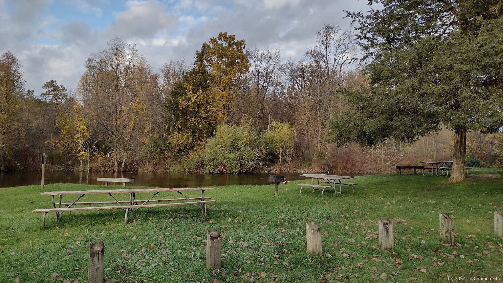
for the picnic/fishing area at Marker 24
near Wixom Road.
at Marker A where
East Dawson Road meets Childs Lake Road ,
on South Milford Road, where there is a nearby 2 mile unpaved hike/bike
trail and a 2.4 mile equestrian trail that both connect Kensington
Metropark with the Proud Lake Recreation Area, or
for the picnic/fishing area at Marker 24
near Wixom Road.
New! I've created a GPX route map [What's this?] for three round-trip hikes through the area; their lengths are 5.9, 6.2 and 6.4 miles. The map also shows the locations of Markers A -- M.
All three loops start from the picnic/fishing area lot at Marker 24
and follow the access road southwest to Wixom Road.
Across Wixom you will see a
sign
that marks the Chief Pontiac Trail -- this is your entry point into the
west side trail network. A few paces beyond that, you will come to the
first of many forks in the trail. The left branch continues the CPT while
the right branch offers a tempting detour -- included as part of the final
segment of each loop -- through a
pine forest
to a nearby canoe livery. The detour rejoins the CPT shortly before the
trail crosses Garden Road headed south to Marker K.
All three routes pass by or near the mountain bike staging area at Marker A, so it is easy to start and finish these routes there as well. In that case, you can cut out the segments between Marker 24 and (near) Marker K; this will trim about 1 mile from each hike. If you start from the shopping center on South Milford Road, a round trip on the hike/bike connecting trail from there to the first or second route will add about 3.7 or 4.0 miles to the lengths of those hikes.
The first 2.2 miles of the first two routes follow the Chief Pontiac
Trail west through Markers K, M, D, E and F, and diverge at a junction
slightly beyond F. An older route map for this segment is also
available online at
MapPedometer .
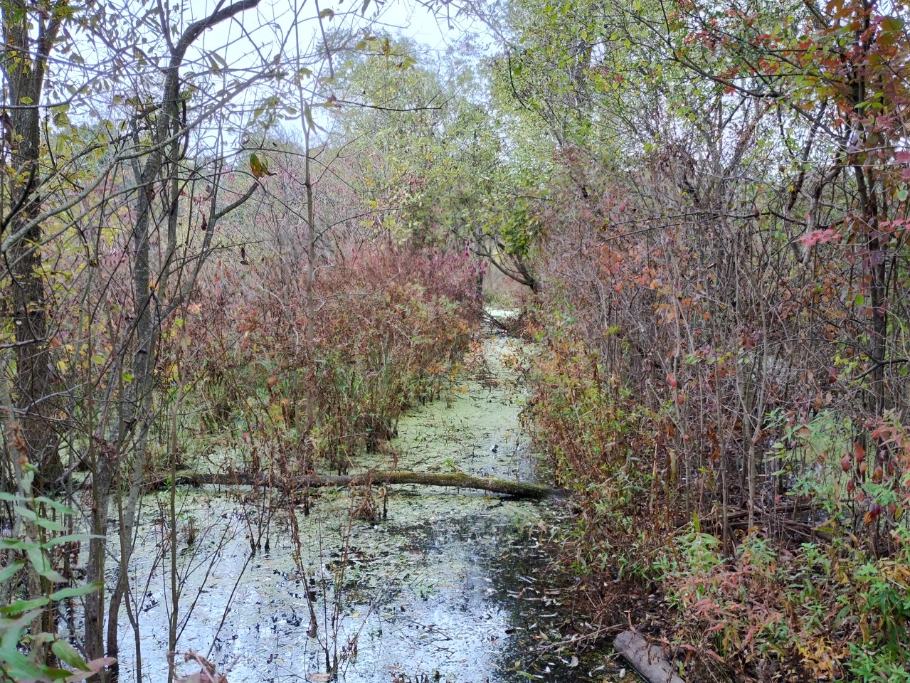
On the M-to-D portion, the trail
emerges from the woods
into a broad open field with some marshy areas and
Norton Creek
flowing through the middle of it. There is a dilapidated
hiker-only bridge
that crosses the creek here, and the trail on either side of the
bridge is usually muddy, and sometimes
flooded .
If it seems impassable when you arrive at this point,
the only way across the creek that doesn't involve getting wet
is to detour north to a
second bridge
near the horse staging area at Marker H. (I've saved a copy of the route on
MapPedometer .)
This detour adds about 0.7 miles to the hiking distance from M to D.
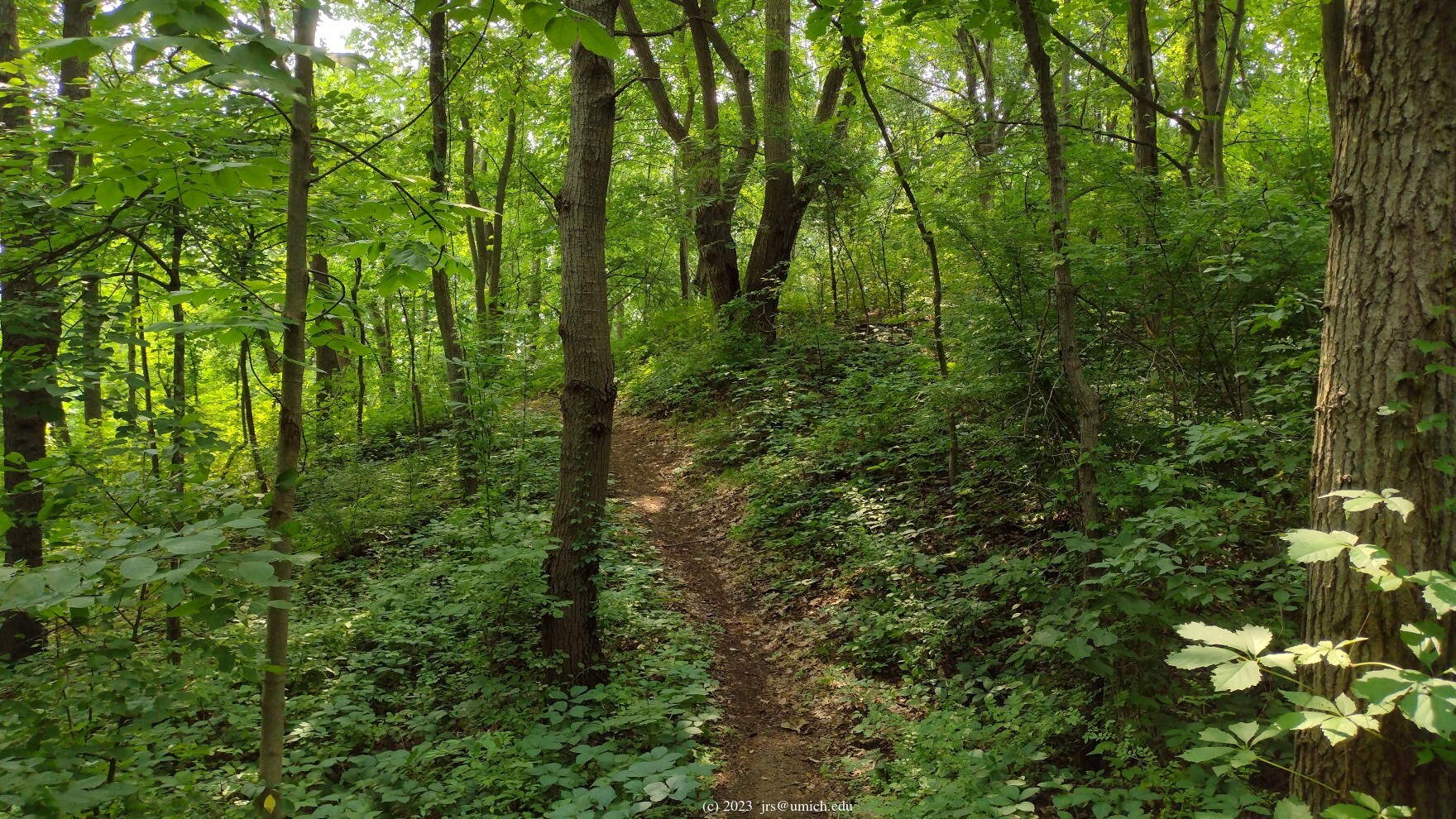
About 150 yards beyond Marker D, the CPT veers to the south and begins
a long gentle climb through dense woods, gaining 200 feet in elevation
on the way to Markers E and F. On the D-to-E portion, the trail crosses
Childs Lake Road and enters a maze of intersecting mountain bike and
equestrian trail segments. Much of the complexity here is due to the
2022 addition of a new, twistier version of Loop 4 optimized for
mountain bikers (labeled "Loop 4 (New Proud Lake)" on the
OpenStreetMap ).
With equestrians continuing to follow the old version of Loop 4,
the bikes and horses are now less likely to interfere with each other.
For map readers, it is unfortunate that the OpenStreetMap is not fully up to date with the reconfiguration of the trails in the Loop 4 area and the signage on site there is minimal. Trail Markers E, F, and G are still in place and provide the most reliable information. Also useful are the orange plastic trail markers for the CPT that make it easier to stay on that track.
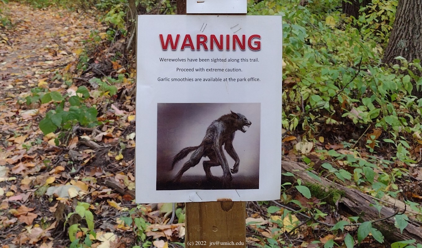
Of course you could complete your hike on the CPT by retracing your steps.
On the other hand, if you are unfazed by the need to stay out of the way
of bikes and horses (and
werewolves ),
there are plenty of options for further exploration of the area west of
Norton Creek on your return. The first two routes on the above GPX
route map proceed as follows:
Route 1:
The first route continues west on the CPT across Old Plank Road
(the park's western boundary) and briefly joins the hike/bike
side of the Kensington
connecting trail through some beautiful
woods and wetlands .
The next stage follows the equestrian side of the connecting trail
back across Old Plank Road into the Loop 4 area at Marker G.
From there, it follows the equestrian trail (i.e., the old Loop 4)
to Marker A. You could alternatively follow the new version of Loop 4
if you prefer a much longer and twistier mountain
bike route. After arriving at A, the route continues east to Marker D,
re-crosses the railroad tracks, and turns north to the equestrian
staging area at Marker H and the
second bridge
across
Norton Creek .
The final stages involve
passing through Markers I and J on the way back to Marker 24.
You can trim 0.4 miles off of the route by omitting the
pine forest detour at the finish.
An older and less up-to-date version of this return route is
still available online at
MapPedometer .
Route 2:
The second route heads north from the CPT directly to Marker G,
and continues from there as in the previous route to Marker A.
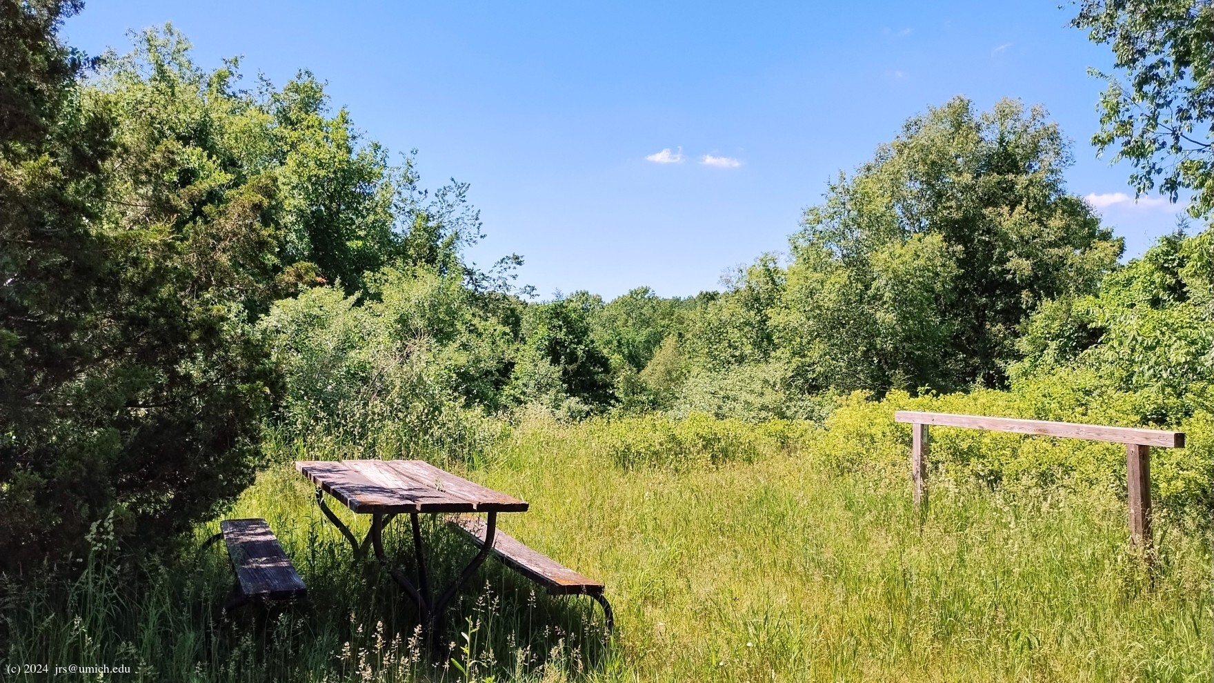
Once at A, the route enters Loop 3.
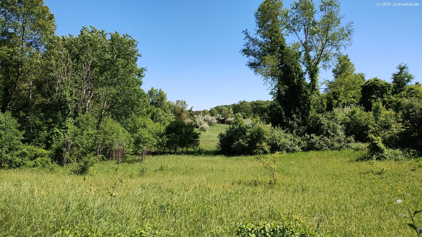
This area has an interesting variety of terrain, including
woodsy hills ,
open fields, and a
picnic table on a summit .
Note that as of 2023, the trail network in this area has been
redesigned in a way similar to Loop 4 -- a new loop optimized for
mountain bikers has been installed side-by-side with the old Loop 3.
Fortunately, the
OpenStreetMap
appears to be accurate here, and there is ample signage in place to
help differentiate the two tracks.
The route I've suggested follows the mountain bike version for the
first 1/4 mile before switching over to the equestrian side
the rest of the way. (You can avoid the mountain bike segment by
continuing north past the biker trailhead and entering at Marker B.)
Midway through the loop, the route takes a shortcut and exits
eastbound near Marker C, crosses the railroad tracks, and joins Loop 2
southbound on its way to the horse staging area.
The return from there follows the first route; i.e., H to I to J to 24.
Again one has the option of trimming off 0.4 miles by omitting
the pine forest finish.
An older and less up-to-date version of this return route is
still available online at
MapPedometer .
The third option on the above GPX route map completely avoids
the Loop 4 maze and the unpredictability associated with the hiker's
bridge on the M-to-D segment.
It diverges from the previous routes by heading south from
Marker K, following Loop 1 through Markers L, M and I as it
curls around to the north and the more reliable equestrian
bridge across Norton Creek. From there it heads to Loop 3
and a more thorough exploration of the hills and
hollows
to be found in its northern half.
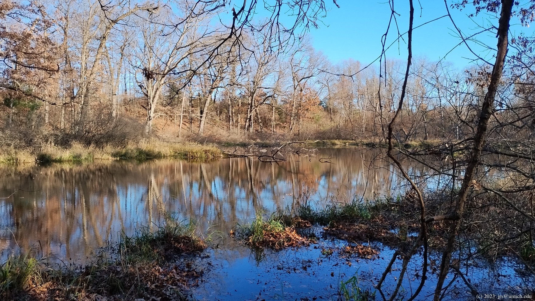
After crossing the railroad tracks, it returns along the most
attractive part of Loop 2, highlighted by a series of
small ponds ,
woods and
open terrain .
An older and shorter version of this route that replaces the
southern half of Loop 1 with a more direct route along the
CPT is still available online at
MapPedometer .
Head north on US-23 to eastbound I-96, exiting at Milford Road (Exit 155).
If you are headed for the trails east of Wixom Road, turn left (north) onto Milford then right (east) onto Pontiac Trail after 0.35 miles. Continue east on Pontiac Trail for 4.2 miles to Wixom Road. Turn left onto North Wixom, and stay on it even after the 2.5 mile mark, when it turns left (westbound) at a T-intersection before eventually turning north again.
The entrance to the park will be on your right (east). After entering, look for the parking lot for the main hiking trailhead on your left after about 0.2 miles. If you are headed for the fishing/picnic area at Marker 24, you should instead continue northbound on Wixom for another 250 yards and look for the entryway on your right.
If you are headed for the connecting trails that lead from Kensington Metropark to Proud Lake, after exiting I-96 continue north on Milford Road for 2.9 miles and park at the shopping center on your right. For the mountain bike staging area, continue another 0.4 miles on Milford Road and turn right (east) onto Dawson Road. Follow (unpaved) Dawson Road for 2 miles; the parking area is at the corner where Dawson Road meets Childs Lake Road.
If traffic is light, driving times from North Main in Ann Arbor are 35 minutes to the main hiking trailhead, 25 minutes to the shopping center on Milford Road, and 30 minutes to the mountain bike staging area.
A Michigan
recreation passport
is required for vehicle entry.
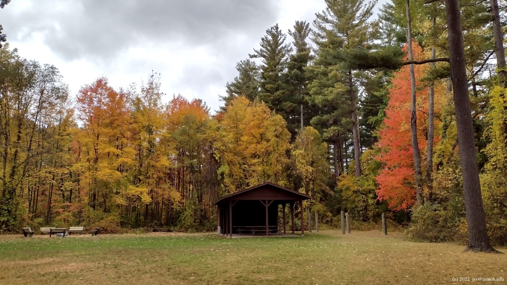
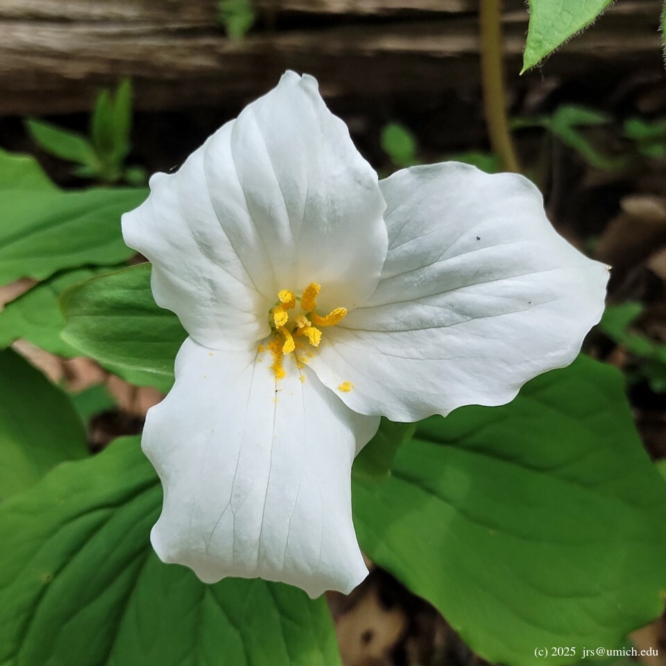
Proud Lake Recreation Area, with more than 3,000 acres, is located on the scenic Huron River in Oakland County and offers diverse and plentiful recreational opportunities. More than 20 miles of trails cover several diverse habitats. During the winter months, skiers can enjoy seeing the evergreens draped with snow. In the spring, hepatica, marsh marigold, violets and many other wildflowers abound. Guided interpretive walks and other nature activities are offered.