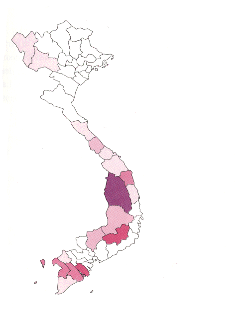
These Maps are Color Coded on the Basis of 1990 Census Data (% of Total Population within Province)
The darker the color, the greater the percentage of the total population.